Cariboo Regional District
Cariboo Regional District, Regional district in British Columbia, Canada
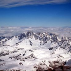
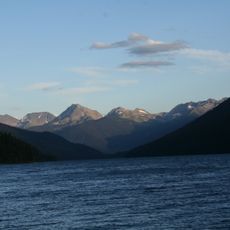
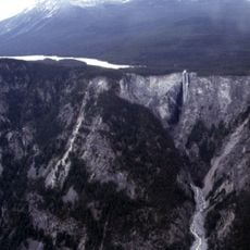
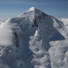
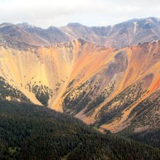
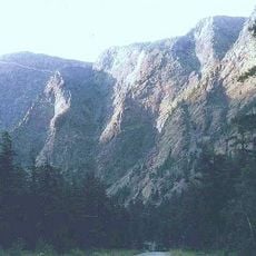
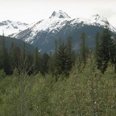
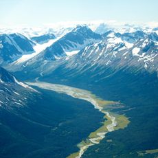
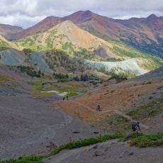
The Cariboo Regional District is an administrative region in central British Columbia located between the Cariboo and Coastal mountain ranges. It consists of twelve electoral areas and four municipalities that together serve the communities across this large territory.
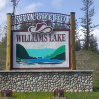
The region received its name during the 1850s gold rush, when thousands of prospectors arrived seeking fortune. These early settlements gradually developed into the towns and cities that exist today.
The district maintains strong connections to both European settler heritage and Indigenous traditions, with Indigenous groups representing nearly eighteen percent of the population.
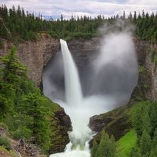
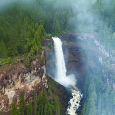
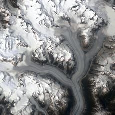
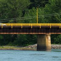
The district provides services to all communities, including waste management, building permits, and emergency services. Visitors should note the region is large and mountainous, so having your own transportation is recommended.
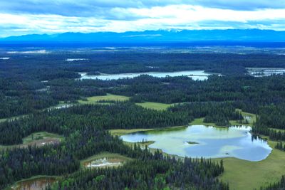
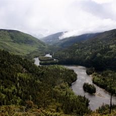
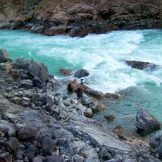
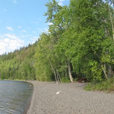
West of 100 Mile House lies a network of multiple lakes that support local agriculture and outdoor activities. These waterways shape how the land is used and what people do there.
Location: British Columbia
Shares border with: Regional District of Bulkley-Nechako, Squamish-Lillooet Regional District, Thompson-Nicola Regional District, Regional District of Fraser-Fort George, Central Coast Regional District, Regional District of Mount Waddington, Strathcona Regional District
Website: https://cariboord.ca
GPS coordinates: 52.00000,-122.00000
Latest update: December 7, 2025 20:48
Mount Waddington
235.7 km
Helmcken Falls
125.1 km
Bowron Lake Provincial Park
143.9 km
Monarch Mountain
266.3 km
Hunlen Falls
259.4 km
Mount Silverthrone
288.4 km
108 Mile Ranch
52.9 km
Tweedsmuir South Provincial Park
308.7 km
Bridge River
130.9 km
Canadian Cascade Arc
288.1 km
Clearwater River
124.9 km
Lone Butte
74.8 km
Ts'ilʔos Provincial Park
166.6 km
Chilcotin River
124 km
Mount Tiedemann
233.3 km
Chasm Provincial Park
99.3 km
Deadman River
128.9 km
Canim Falls
97.7 km
Monarch Icefield
276.6 km
Ha-Iltzuk Icefield
277.9 km
Farwell Canyon
43.1 km
Homathko Icefield
204 kmSpruce Lake Protected Area
126.5 km
Churn Creek Protected Area
66.1 km
South Chilcotin Mountains Provincial Park
130.5 kmGreen Lake Provincial Park
86 km
Klinaklini Glacier
267.7 km
Canim Beach Provincial Park
80.4 kmVisited this place? Tap the stars to rate it and share your experience / photos with the community! Try now! You can cancel it anytime.
Discover hidden gems everywhere you go!
From secret cafés to breathtaking viewpoints, skip the crowded tourist spots and find places that match your style. Our app makes it easy with voice search, smart filtering, route optimization, and insider tips from travelers worldwide. Download now for the complete mobile experience.
A unique approach to discovering new places❞
— Le Figaro
All the places worth exploring❞
— France Info
A tailor-made excursion in just a few clicks❞
— 20 Minutes