Clearwater River, River in British Columbia, Canada
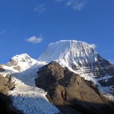
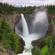
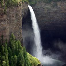
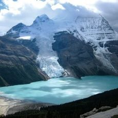
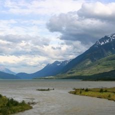
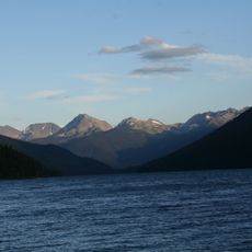
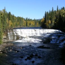
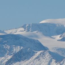
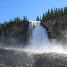
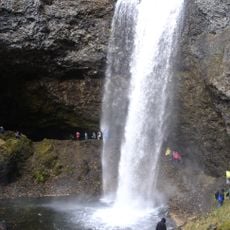
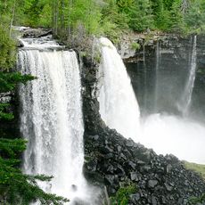
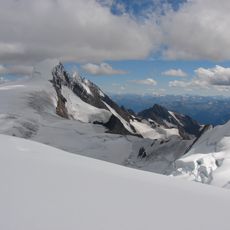
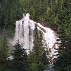
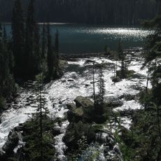
The Clearwater River is the largest tributary of the North Thompson River in British Columbia, Canada. It rises from glaciers in the Cariboo Mountains and flows about 201 km south to join the North Thompson at the community of Clearwater. Except for the last 5 km, its course lies within Wells Gray Provincial Park. Two large lakes, Hobson Lake and Clearwater Lake, interrupt its flow.
The Overlanders expedition to the Cariboo goldfields rafted down the North Thompson River in 1862 and, at the mouth of this river, named it Clear Water for its clarity against the muddy Thompson. Lord Milton and Dr. Cheadle fixed the name in their 1865 journal. In 1873 Marcus Smith visited Hobson Lake surveying a railway route; the basin's routes were abandoned in 1881 when Kicking Horse Pass was chosen.
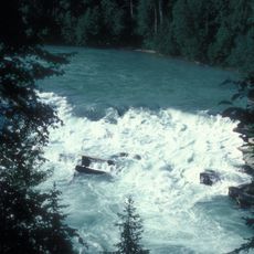
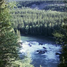
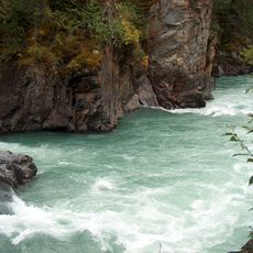
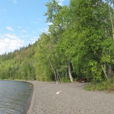
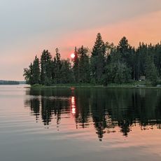
The name of this river refers to the clarity of its water, something a visitor can observe directly when paddling or walking along its banks. For people in the region, it is known above all as a route for canoe trips through forested stretches.
Canoeing is possible starting from a section downstream of Clearwater Lake, but conditions become easier past Timber Creek. It is worth checking current water levels and weather before setting out, as both can change quickly in this area.
The Overlanders, heading for the Cariboo goldfields in 1862, gave the river its name after noticing its clarity beside the muddy North Thompson; they named only one other feature, Raft Peak. The Blue Ice Mine on Fred Wells Creek sat at 2,075 m, just 60 m from an active glacier, and was never fully developed because the ice moved unpredictably.
The community of curious travelers
AroundUs brings together thousands of curated places, local tips, and hidden gems, enriched daily by 92,638 contributors worldwide.