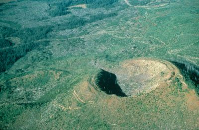
Flourmill Volcanoes, Cinder cone in British Columbia, Canada
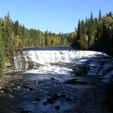
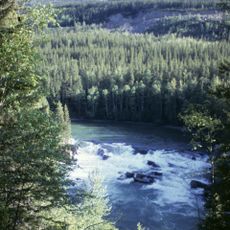
Flourmill Volcanoes consists of two volcanic centers in east-central British Columbia with distinct craters and extensive lava flows. The formations shape the landscape with their characteristic structure, showing clear evidence of the area's eruptive past.
The volcanic centers formed roughly 3000 years ago and have shaped this landscape since then. The area was first thoroughly explored in 1874 by Joseph Hunter and his survey team during mapping work for the Canadian Pacific Railway.
The name comes from a 1921 land survey, using a creative spelling of Flourmill to set it apart from other Four Mile Creeks elsewhere in the province.
Access comes from Highway 97 near 100 Mile House by following multiple unsigned road forks to the Spanish Lake outlet. The route is rustic and requires careful navigation since the roads are not clearly marked.
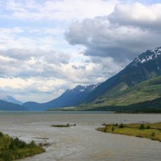
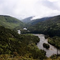
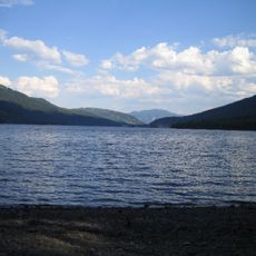
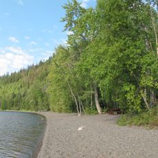
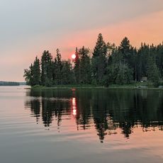
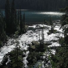
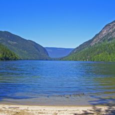
Spanish Lake was created by the lava flows from these two volcanic centers and stretches through the Spanish valley. The close connection between geological features and the present-day water body shows how the eruptive past still shapes what visitors see today.
The community of curious travelers
AroundUs brings together thousands of curated places, local tips, and hidden gems, enriched daily by 60,000 contributors worldwide.