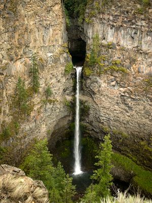
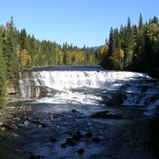
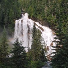
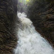
Spahats Creek Falls, Waterfall in Wells Gray Provincial Park, Canada.
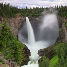
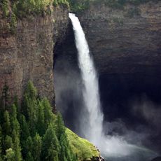
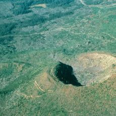
Spahats Creek Falls is a waterfall in Wells Gray Provincial Park where water plunges from a narrow hanging gorge about 73 meters down through volcanic rock. The cascade drops into a wider canyon below, creating a dramatic natural feature carved through layered stone formations.
The falls were originally called Bear Creek Falls but were renamed in the 1960s because many locations in British Columbia shared that name. The gorge itself was carved by volcanic eruptions roughly 300,000 years ago, and these ancient geological events are visible in the rock layers today.
The name comes from a First Nations language and refers to bears that once lived in the surrounding wilderness. Visitors walking to the falls can see this heritage reflected in signage and interpretive markers along the trails.
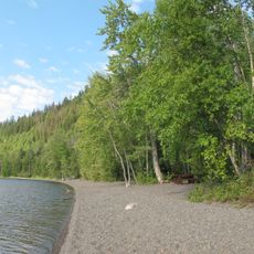
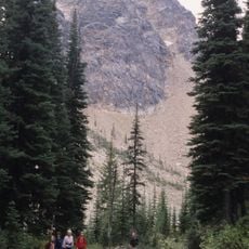
A short walk of about five minutes from the parking area leads to several viewing platforms where you can see the waterfall from different angles. The trails are walkable throughout the year, though water flow varies depending on the season.
The waterfall emerges from a V-shaped gorge that was carved into volcanic rock layers over millions of years. What surprises many visitors is how cleanly the gorge cuts through the stone, looking almost like it was precisely chiseled rather than naturally eroded.
The community of curious travelers
AroundUs brings together thousands of curated places, local tips, and hidden gems, enriched daily by 60,000 contributors worldwide.