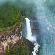
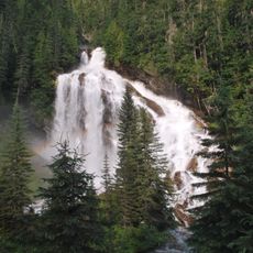
Canim Falls, Waterfall in Wells Gray Provincial Park, British Columbia, Canada.
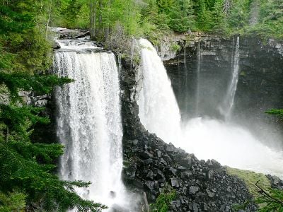
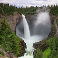
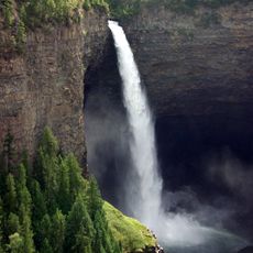
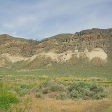
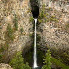
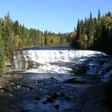
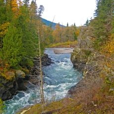
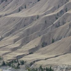
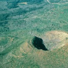
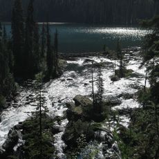
Canim Falls is a two-stage waterfall in Wells Gray Provincial Park that drops 25 meters through a canyon carved from volcanic rock and divided by a central rocky island. The gorge stretches several kilometers and displays the layered volcanic formations that define this entire landscape.
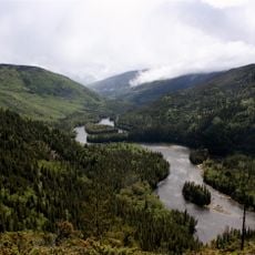
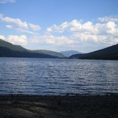
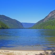
The name comes from Chinook Jargon, where 'Canim' means a large canoe and reflects how water routes served as the main transportation system for early inhabitants. This naming shows the river's central role in connecting communities across the landscape.
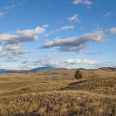
The place name reflects the historical importance of canoe travel, and visitors today notice how the river cuts through the volcanic landscape that shaped the region's Indigenous settlement patterns.
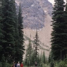
To reach the falls, follow marked hiking trails from Mahood Lake Road, with spring offering the strongest water flow from mountain snowmelt. The morning hours provide the best light and fewer crowds at the viewing areas.
Underground springs emerge through lava layers in the canyon walls, creating visible water jets that feed into the main falls and add to its power. These hidden water sources emerge throughout the year and are especially noticeable during spring when snow melting swells the river.
The community of curious travelers
AroundUs brings together thousands of curated places, local tips, and hidden gems, enriched daily by 60,000 contributors worldwide.