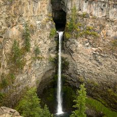
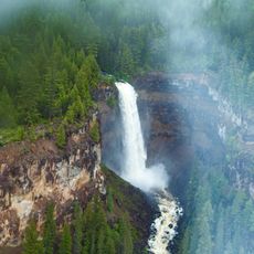
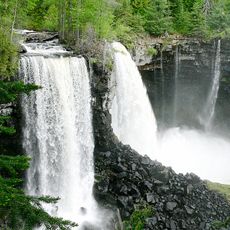
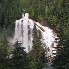
Dawson Falls, Waterfall in Wells Gray Provincial Park, Canada
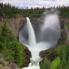
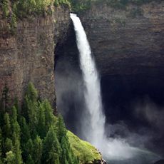
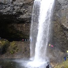
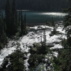
Dawson Falls is a waterfall on the Murtle River in Wells Gray Provincial Park, where the river drops over lava flows about 200,000 years old. Below the lava lie compacted sand and gravel deposits left by an older river. The main viewpoint is a 10-minute walk from the park road, and a rough trail on the north side gives another vantage point.
The waterfall was named in 1913 after George Herbert Dawson, the Surveyor-General of British Columbia. The naming came from land surveyor Robert Henry Lee while mapping the region.
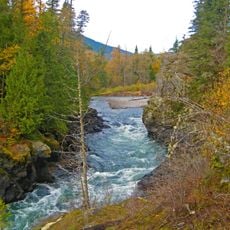
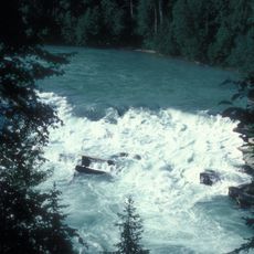
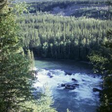
The name Mushbowl, used for the waterfall 600 m downstream, predates 1940 and describes how the water swirls; until the late 1960s some also called it Devil's Punchbowl, a name dropped in favour of the shorter one. Robert Henry Lee, who named Dawson Falls, camped with his crew by the falls in the summers of 1913 and 1914 while surveying homestead lots along the south bank of the Murtle River.
Clearwater Valley Road runs close to the falls; the main viewpoint is a 10-minute walk from the car park, and the top of the waterfall is a few minutes further. A rough trail on the north side of the Murtle River gives a different vantage point. Pyramid Campground, with 50 sites, lies just northeast.
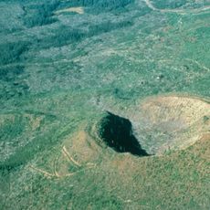
The water flows over lava deposits roughly 200,000 years old from a distant geological past. Beneath this volcanic layer lies compressed sand and gravel from an ancient river system.
The community of curious travelers
AroundUs brings together thousands of curated places, local tips, and hidden gems, enriched daily by 93,533 contributors worldwide.