
Cross Rapids, rapids in British Columbia, Canada
Location: British Columbia
Elevation above the sea: 686 m
GPS coordinates: 55.09987,-123.08638
Latest update: April 9, 2025 17:55
Montney Formation
201 km
Barkerville
248.5 km
Bowron Lake Provincial Park
251.7 km
CN Centre
134.3 km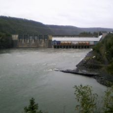
Peace Canyon Dam
119.9 km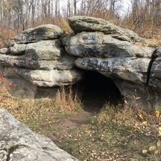
Charlie Lake Cave
187.4 km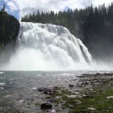
Kinuseo Falls
126.2 km
Philip J. Currie Dinosaur Museum
251.5 km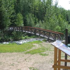
Driftwood Canyon Provincial Park
253.3 km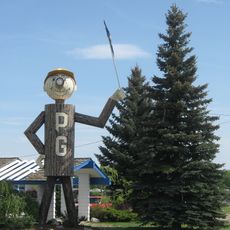
Mr. PG
135.5 km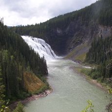
Monkman Provincial Park
134.1 km
Kakwa Provincial Park and Protected Area
210.3 km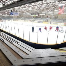
Prince George Coliseum
134 km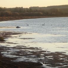
Saskatoon Island Provincial Park
254.7 km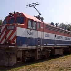
Prince George Railway and Forestry Museum
133.1 km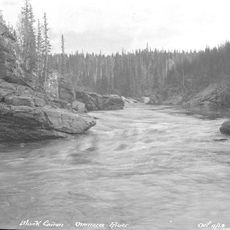
Omineca River
178.6 km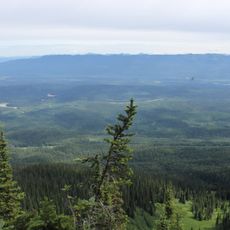
Sugarbowl-Grizzly Den Provincial Park and Protected Area
171.9 km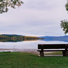
Beaumont Provincial Park
152.3 km
Crooked River Provincial Park
74.2 km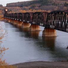
Prince George CNR Bridge
134.2 km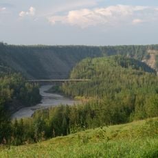
Kiskatinaw Provincial Park
185.5 km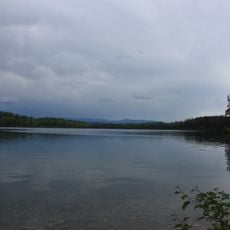
Heather-Dina Lakes Provincial Park
47.6 km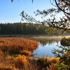
Ten Mile Lake Provincial Park
229.4 km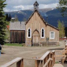
St. Saviour's Anglican Church
248.3 km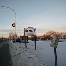
Fort St. John - North Peace Museum
189.4 km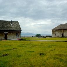
Fort St. James National Historic Site
105 km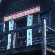
Chee Kung Tong Building
248.5 km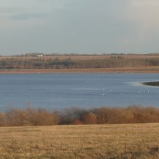
Saskatoon Lake Migratory Bird Sanctuary
254.4 kmReviews
Visited this place? Tap the stars to rate it and share your experience / photos with the community! Try now! You can cancel it anytime.
Discover hidden gems everywhere you go!
From secret cafés to breathtaking viewpoints, skip the crowded tourist spots and find places that match your style. Our app makes it easy with voice search, smart filtering, route optimization, and insider tips from travelers worldwide. Download now for the complete mobile experience.

A unique approach to discovering new places❞
— Le Figaro
All the places worth exploring❞
— France Info
A tailor-made excursion in just a few clicks❞
— 20 Minutes