
Cameron River Crossing Territorial Park, territorial park in the Northwest Territories
Location: North Slave Region
GPS coordinates: 62.49236,-113.54902
Latest update: March 9, 2025 21:05
Fort Resolution
147.2 km
Behchokǫ̀
132.3 km
Deh Cho Bridge
249.3 km
Łutselk'e
145 km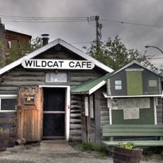
The Wildcat Cafe
41.2 km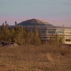
Northwest Territories Legislative Building
43 km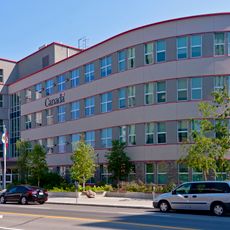
Greenstone Building
42.6 km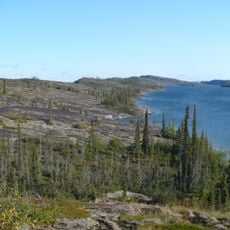
Thaidene Nëné National Park Reserve
252.8 km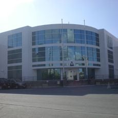
Canadian Forces Northern Area Headquarters Yellowknife
42.7 km
Horn River Formation
234.4 km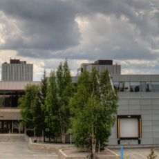
Prince of Wales Northern Heritage Centre
42.9 km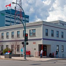
Yellowknife Post Office
42.5 km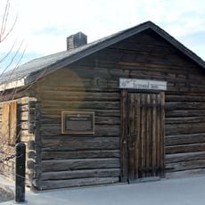
Fireweed Studio
42.8 km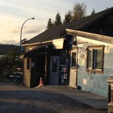
Weaver & Devore Trading
41.3 km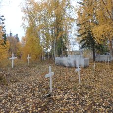
Back Bay Cemetery
41.9 km
Fred Henne Territorial Park
44.9 km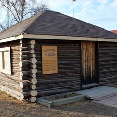
Log School House
42.8 km
Hudson's Bay Warehouse
41.2 km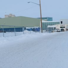
NACC Theatre
42.1 km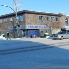
Sutherland's Drug Store
42.6 km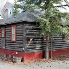
Bank of Toronto building
41 km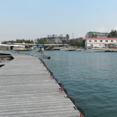
Canadian Pacific Airlines floatbase
41.2 km
Wekweètì
191.6 km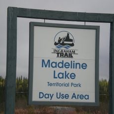
Madeline Lake Territorial Park
27.2 km
Pontoon Lake Territorial Park
25.4 km
McNallie Creek Territorial Park
249 km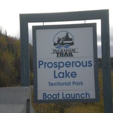
Prosperous Lake Territorial Park
31.1 km
Yellowknife River Territorial Park
39.7 kmReviews
Visited this place? Tap the stars to rate it and share your experience / photos with the community! Try now! You can cancel it anytime.
Discover hidden gems everywhere you go!
From secret cafés to breathtaking viewpoints, skip the crowded tourist spots and find places that match your style. Our app makes it easy with voice search, smart filtering, route optimization, and insider tips from travelers worldwide. Download now for the complete mobile experience.

A unique approach to discovering new places❞
— Le Figaro
All the places worth exploring❞
— France Info
A tailor-made excursion in just a few clicks❞
— 20 Minutes