Roger Mills County

Log in to your account

14M+
places
190+
countries
Save your favorite places
Create custom travel routes
Rate and review places
Access the full interactive map
Continue with Google
Continue with Apple
Continue with email
By continuing, you accept our Terms and Conditions and our Privacy Policy
Create an account
Add to collection
Map
Suggest a change
Share

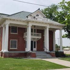
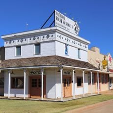
Roger Mills County, County in western Oklahoma, US

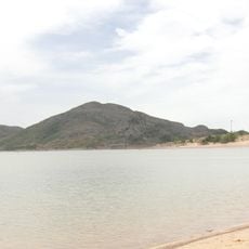
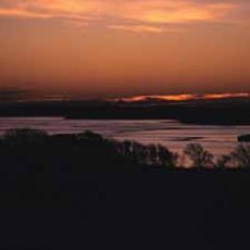
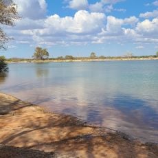
Roger Mills County sits in western Oklahoma and covers flat to gently rolling grassland terrain. The Canadian River forms its northern boundary, while the Washita River cuts through the region, shaping the landscape.

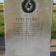
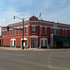
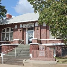
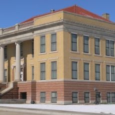
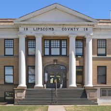
The county was established in 1892 and named after Roger Q. Mills, a former Confederate officer who later served as a U.S. senator from Texas. The region experienced early impacts of western expansion and settlement by American pioneers.

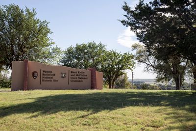
The Washita Battlefield National Historic Site preserves the location where Lieutenant Colonel George Custer attacked a Cheyenne village in November 1868.

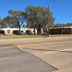
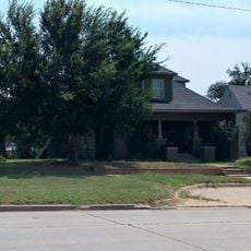
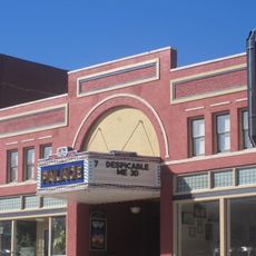
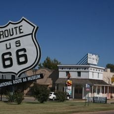
The county is best explored by car, as towns and attractions are spread out and public transportation is limited. It is wise to have plenty of fuel and drive carefully through rural areas.

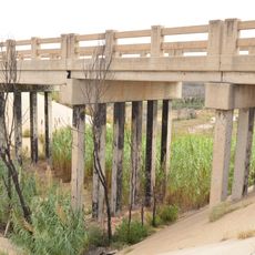
During the 1970s, the county became part of the Panhandle-Hugoton Gas Field, which stands as the largest natural gas reserve in the United States.

Location: Oklahoma

Inception: April 19, 1892

Capital city: Cheyenne

Shares border with: Ellis County, Beckham County, Dewey County, Custer County, Hemphill County, Wheeler County

Website: http://rogermills.org

GPS coordinates: 35.69000,-99.70000

Latest update: December 8, 2025 13:42

Photos
Around this place
Foss Reservoir
United States of America

Foss Reservoir

45.3 km
Boiling Springs State Park
United States of America

Boiling Springs State Park

92.5 km
Stafford Air & Space Museum
United States of America

Stafford Air & Space Museum

94.6 km
Quartz Mountain Nature Park
United States of America

Quartz Mountain Nature Park

91.9 km
Fort Elliott
United States of America

Fort Elliott

71.1 km
Washita National Wildlife Refuge
United States of America

Washita National Wildlife Refuge

41.7 km
West Winds Motel
United States of America

West Winds Motel

55.1 km
Oklahoma Route 66 Museum
United States of America

Oklahoma Route 66 Museum

67.7 km
Storm House
United States of America

Storm House

40.5 km
Washita County Courthouse
United States of America

Washita County Courthouse

78.2 km
Beckham County Courthouse
United States of America

Beckham County Courthouse

44.7 km
Water-Zoo Clinton Indoor Water Park
United States of America

Water-Zoo Clinton Indoor Water Park

68.4 km
L. L. Stine House
United States of America

L. L. Stine House

87.6 km
Route 66 Bridge over the Chicago, Rock Island and Gulf Railroad
United States of America

Route 66 Bridge over the Chicago, Rock Island and Gulf Railroad

63.4 km
Sayre Downtown Historic District
United States of America

Sayre Downtown Historic District

44.7 km
Cordell Carnegie Public Library
United States of America

Cordell Carnegie Public Library

78.1 km
National Rt 66 and Transportation Museum
United States of America

National Rt 66 and Transportation Museum

39.1 km
J. W. Danner House
United States of America

J. W. Danner House

44.3 km
Roberts County Courthouse
United States of America

Roberts County Courthouse

84.6 km
Lipscomb County Courthouse
United States of America

Lipscomb County Courthouse

79.4 km
Ellis County Courthouse
United States of America

Ellis County Courthouse

49.9 km
Hobart City Hall
United States of America

Hobart City Hall

92.2 km
The Artesian Beach
United States of America

The Artesian Beach

70.4 km
Pioneer West Museum
United States of America

Pioneer West Museum

72.5 km
Palace Theatre
United States of America

Palace Theatre

66.7 km
National Route 66 Museum
United States of America

National Route 66 Museum

39.1 km
Boiling Springs State Park Pool Bathhouse
United States of America

Boiling Springs State Park Pool Bathhouse

92.2 km
Shattuck Windmill Museum
United States of America

Shattuck Windmill Museum

66.2 km
Show the full map
Reviews

Visited this place? Tap the stars to rate it and share your experience / photos with the community! Try now! You can cancel it anytime.

Administrative divisions
« Roger Mills County - County in western Oklahoma, US » is provided by Around Us (aroundus.com). Images and texts are derived from Wikimedia project under a Creative Commons license. You are allowed to copy, distribute, and modify copies of this page, under the conditions set by the license, as long as this note is clearly visible.

Discover hidden gems everywhere you go!

From secret cafés to breathtaking viewpoints, skip the crowded tourist spots and find places that match your style. Our app makes it easy with voice search, smart filtering, route optimization, and insider tips from travelers worldwide. Download now for the complete mobile experience.

Around Us App Screenshot

A unique approach to discovering new places

Le Figaro

All the places worth exploring

France Info

A tailor-made excursion in just a few clicks

20 Minutes