
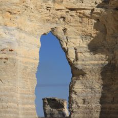
Monument Rocks
43.9 km
Smoky Hill Chalk Member
55.2 km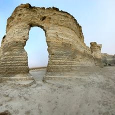
Little Jerusalem Badlands State Park
55.2 km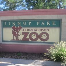
Lee Richardson Zoo
65.9 km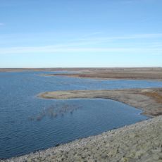
Cedar Bluff Reservoir
70.5 km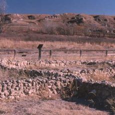
Lake Scott State Park
44.8 km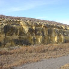
Cedar Bluff State Park
70.4 km
El Quartelejo Ruins
44.8 km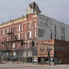
Windsor Hotel
65.3 km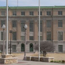
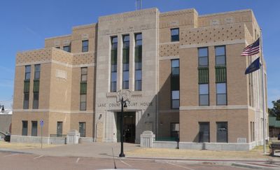
Hodgeman County Courthouse
66.4 km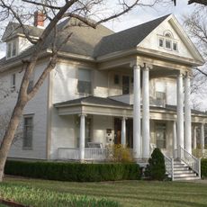
Sen. William H. Thompson House
64.7 km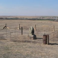
George Washington Carver Homestead Site
25.3 km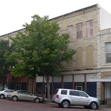
Buffalo Hotel
65.4 km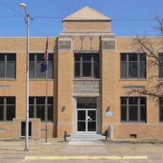
Lane County Community High School
2.2 km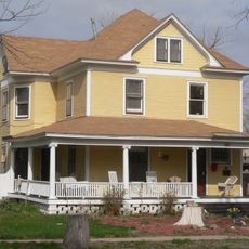
900 Block North Seventh Street Historic District
64.6 km
Parrot Cove
63.2 km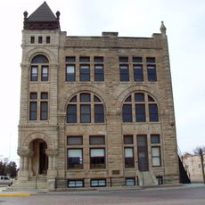
Ness County Bank
49.9 km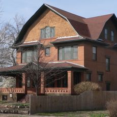
Cedar Cliff
65.3 km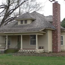
Hope House
64.4 km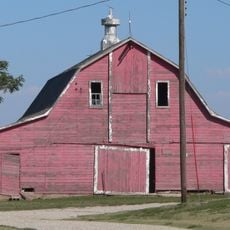
Lipp Barn
69.8 km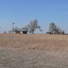
Alexander & Anna Schwartz Farm
15.1 km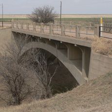
Hackberry Creek Bridge
39.2 km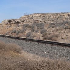
Finney County Point of Rocks
66.5 km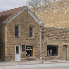
T. S. Haun House
66.2 km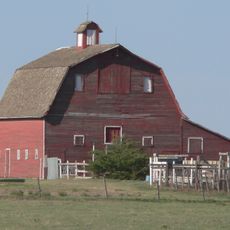
Oxley Barn
72 km
Little Finnup House
65.4 km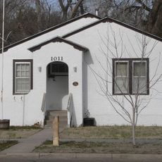
Bungalow Historic District
64.5 km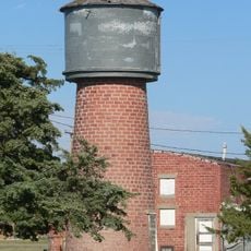
Collyer Downtown Historic District
71.1 kmVisited this place? Tap the stars to rate it and share your experience / photos with the community! Try now! You can cancel it anytime.
Discover hidden gems everywhere you go!
From secret cafés to breathtaking viewpoints, skip the crowded tourist spots and find places that match your style. Our app makes it easy with voice search, smart filtering, route optimization, and insider tips from travelers worldwide. Download now for the complete mobile experience.

A unique approach to discovering new places❞
— Le Figaro
All the places worth exploring❞
— France Info
A tailor-made excursion in just a few clicks❞
— 20 Minutes