Seminole County

Log in to your account

AroundUs is a community-driven map of interesting places, built by curious explorers like you. It grows with every review, story, and photo you share.
Connect to save your favorite spots, contribute locations, and create personalized routes.
By continuing, you accept our Terms and Conditions and our Privacy Policy
Add to collection
Map
Suggest a change
Share

Seminole County, Administrative county in Oklahoma, United States

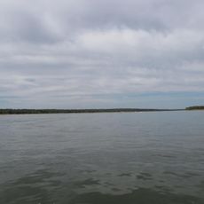
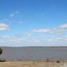
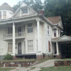
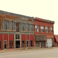
Seminole County is an administrative division in southeastern Oklahoma located between the North Canadian River and the Canadian River. The territory consists of flatter areas mixed with gentle hills, home to small towns and rural communities.

The area became a county in 1907 when Oklahoma became a state, after previously serving as a reservation for the Seminole Nation. This change marked the transition from territorial status to inclusion within the new state structure.

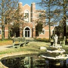
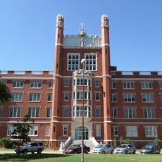
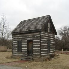
The Seminole Nation Museum displays artifacts and exhibitions that tell the story of the Native American community and their roots in this region. Visitors can see objects and learn about the traditions that have shaped life here over time.

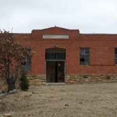
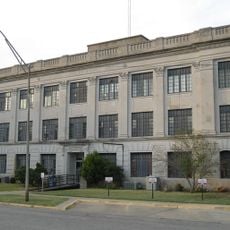
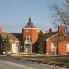
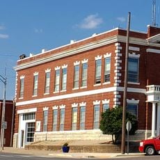
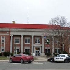
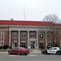
Wewoka serves as the county seat and main hub for government services and local information. This is where to find offices and answers to questions about the region.

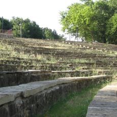
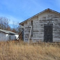
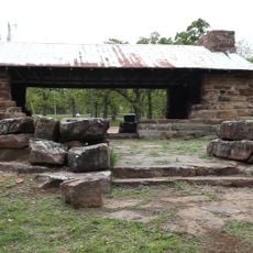
A major oil field was discovered here in 1926, which became an important part of the regional economy for decades. Signs of this industrial past remain visible in the landscape today.

Location: Oklahoma

Inception: 1907

Capital city: Wewoka

Shares border with: Okfuskee County, Pontotoc County, Hughes County, Pottawatomie County

Website: https://seminolecountyok.com

GPS coordinates: 35.17000,-96.61000

Latest update: December 7, 2025 20:43

Photos
Around this place
Show the full map
St. Gregory's University
United States of America

St. Gregory's University

38.2 km
Lake Thunderbird
United States of America

Lake Thunderbird

57.4 km
Lake Thunderbird State Park
United States of America

Lake Thunderbird State Park

57.7 km
Mabee-Gerrer Museum of Art
United States of America

Mabee-Gerrer Museum of Art

38.2 km
Ada Gaming Center
United States of America

Ada Gaming Center

42.5 km
Wintersmith Park Historic District
United States of America

Wintersmith Park Historic District

46 km
Rosenwald Hall
United States of America

Rosenwald Hall

1.1 km
St. Gregory's Abbey
United States of America

St. Gregory's Abbey

38.2 km
Wanette–Byars Bridge
United States of America

Wanette–Byars Bridge

48.8 km
Governor's Mansion
United States of America

Governor's Mansion

34.2 km
Benedictine Hall
United States of America

Benedictine Hall

38.2 km
Boley Historic District
United States of America

Boley Historic District

38 km
Pontotoc County Courthouse
United States of America

Pontotoc County Courthouse

44.7 km
Beard Cabin
United States of America

Beard Cabin

33 km
Strother Memorial Chapel
United States of America

Strother Memorial Chapel

9.9 km
Ada Arts and Heritage Center
United States of America

Ada Arts and Heritage Center

44.8 km
St. Paul Baptist Church and Cemetery
United States of America

St. Paul Baptist Church and Cemetery

52.3 km
St. Cloud Hotel
United States of America

St. Cloud Hotel

63.5 km
Holdenville Armory
United States of America

Holdenville Armory

22.6 km
Holdenville City Hall
United States of America

Holdenville City Hall

21.2 km
Shawnee Friends Mission
United States of America

Shawnee Friends Mission

32.2 km
Seminole County Courthouse
United States of America

Seminole County Courthouse

10.9 km
Aldridge Hotel
United States of America

Aldridge Hotel

33.5 km
First National Bank Building
United States of America

First National Bank Building

52.6 km
Ritz Theatre
United States of America

Ritz Theatre

33.5 km
Hornbeck Theatre
United States of America

Hornbeck Theatre

33.4 km
Nichols Park South Picnic Shelter
United States of America

Nichols Park South Picnic Shelter

63.3 km
Bell Street Historic District
United States of America

Bell Street Historic District

33.3 km
Show the full map
Reviews

Visited this place? Tap the stars to rate it and share your experience / photos with the community! Try now! You can cancel it anytime.

Administrative divisions
« Seminole County - Administrative county in Oklahoma, United States » is provided by Around Us (aroundus.com). Images and texts are derived from Wikimedia project under a Creative Commons license. You are allowed to copy, distribute, and modify copies of this page, under the conditions set by the license, as long as this note is clearly visible.

Discover hidden gems everywhere you go!

From secret cafés to breathtaking viewpoints, skip the crowded tourist spots and find places that match your style. Our app makes it easy with voice search, smart filtering, route optimization, and insider tips from travelers worldwide. Download now for the complete mobile experience.

Around Us App Screenshot

A unique approach to discovering new places

Le Figaro

All the places worth exploring

France Info

A tailor-made excursion in just a few clicks

20 Minutes