Keystone Lake, Recreational lake in northeastern Oklahoma, United States.
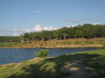
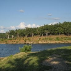
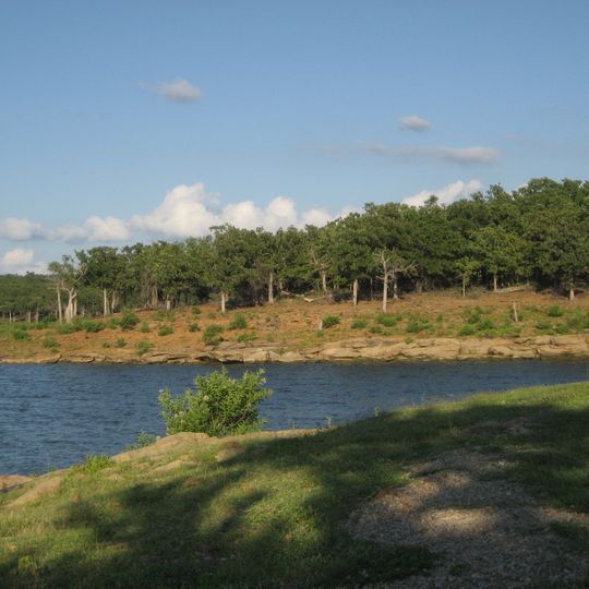
Keystone Lake is a 23,600-acre reservoir on the Arkansas and Cimarron rivers in northeastern Oklahoma, held back by a 4,600-foot rolled-earthfill dam with a 1,600-foot concrete section. The shoreline runs 330 miles, and the photograph shows flat tan stone slabs along the water below a reddish-brown earth slope with patches of grass and a line of green trees.
The Keystone Lake project was authorized by the Flood Control Act of 1950 and built by the Tulsa District of the Army Corps of Engineers. Construction began in January 1957, and the dam was complete for flood control in September 1964; the power plant began commercial operation in May 1968, the same year the lake filled. The reservoir submerged the town of Keystone, which existed on the site from 1900 to 1962, and forced the relocation of Mannford, Prue and Appalachia Bay.
The name Keystone comes from a town that stood on the site from 1900 until 1962, when the rising water covered it; Mannford, Prue and Appalachia Bay were moved to new ground. Today the Windycrest Sailing Club holds sailboat races and cruises on the lake, and anglers pursue striped bass, white bass, crappie and catfish.
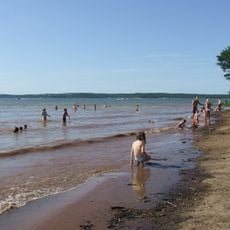
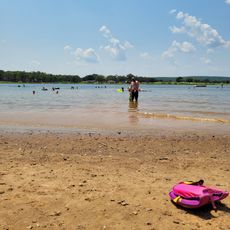
Keystone Lake has 16 recreation areas, 11 boat ramps, 4 marinas and 2 off-road vehicle areas, with three beaches kept alcohol-free. Keystone State Park offers cabins, and Windycrest Sailing Club runs sailboat racing and cruising. State Highway 151 crosses the dam, linking Highway 51 on the south with US 64 on the north.
The Keystone Dam's spillway holds eighteen tainter gates, each 40 by 35 feet, and nine sluices; at maximum pool the structure can pass 939,000 cubic feet per second. State Highway 151 runs across the 4,600-foot earthfill dam, linking Highway 51 to the south with U.S. 64 to the north.
The community of curious travelers
AroundUs brings together thousands of curated places, local tips, and hidden gems, enriched daily by 92,656 contributors worldwide.