Mayes County

Log in to your account

AroundUs is a community-driven map of interesting places, built by curious explorers like you. It grows with every review, story, and photo you share.
Connect to save your favorite spots, contribute locations, and create personalized routes.
By continuing, you accept our Terms and Conditions and our Privacy Policy
Add to collection
Map
Suggest a change
Share

Mayes County, Administrative county in northeastern Oklahoma, United States

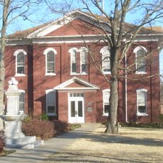
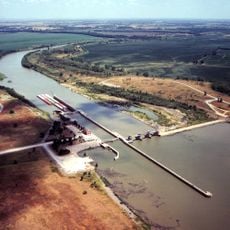
Mayes County is an administrative division in northeastern Oklahoma. The county's landscape is shaped by river systems, with Pryor Creek serving as the county seat.

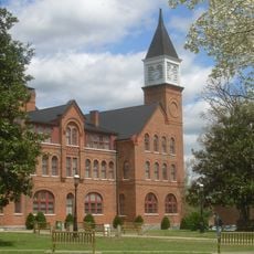
The county was established in 1907 and named after Samuel Houston Mayes, a prominent Cherokee leader. Human occupation of the area extends back thousands of years, as evidenced by archaeological remains.

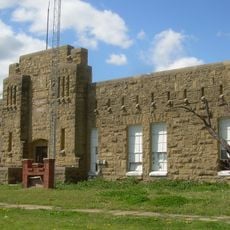
The region contains numerous prehistoric archaeological sites, with evidence of continuous human settlements dating back more than 8,000 years.

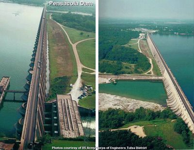
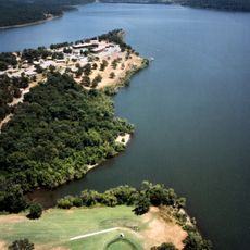
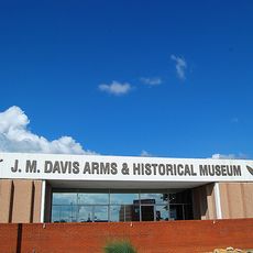
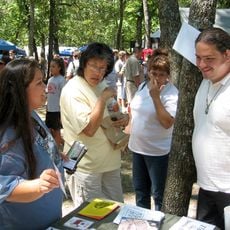
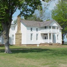
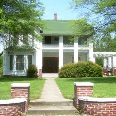
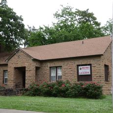
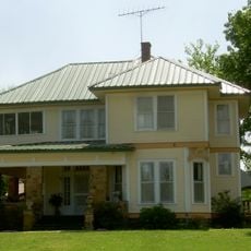
The county has water recreation areas and parks along its rivers for visitor exploration. These spaces provide good access for those interested in outdoor activities and local heritage sites.

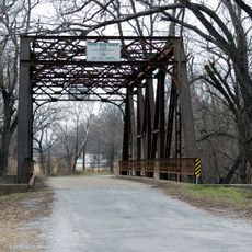
A railroad line was constructed through the area in the 1800s and connected it to major trade routes. This transportation link shaped settlement patterns and how the local economy developed over time.

Location: Oklahoma

Inception: July 16, 1907

Capital city: Pryor Creek

Shares border with: Craig County, Wagoner County, Delaware County, Cherokee County, Rogers County

Website: http://mayes.okcounties.org

GPS coordinates: 36.30000,-95.24000

Latest update: December 7, 2025 19:22

Around this place
Show the full map
Blue Whale of Catoosa
United States of America

Blue Whale of Catoosa

45.8 km
Sequoyah State Park
United States of America

Sequoyah State Park

42.5 km
Monastery of Our Lady of the Annunciation of Clear Creek
United States of America

Monastery of Our Lady of the Annunciation of Clear Creek

29.9 km
Cherokee National Capitol
United States of America

Cherokee National Capitol

49.5 km
J. M. Davis Arms and Historical Museum
United States of America

J. M. Davis Arms and Historical Museum

33.7 km
Fort Gibson Dam
United States of America

Fort Gibson Dam

47.9 km
Cherokee National Holiday
United States of America

Cherokee National Holiday

49.3 km
Cherokee Female Seminary
United States of America

Cherokee Female Seminary

48.7 km
Dog Iron Ranch
United States of America

Dog Iron Ranch

41.9 km
Ed Galloway's Totem Pole Park
United States of America

Ed Galloway's Totem Pole Park

24.1 km
Lake Eucha
United States of America

Lake Eucha

34.6 km
Doc Wadley Stadium
United States of America

Doc Wadley Stadium

48.1 km
Ozark Plateau National Wildlife Refuge
United States of America

Ozark Plateau National Wildlife Refuge

47.6 km
Attucks School
United States of America

Attucks School

37.7 km
First Methodist Episcopal Church, South
United States of America

First Methodist Episcopal Church, South

38.3 km
Wagoner Armory
United States of America

Wagoner Armory

39.6 km
Newt Graham Lock & Dam
United States of America

Newt Graham Lock & Dam

37.9 km
Frederick Parkinson House
United States of America

Frederick Parkinson House

39.3 km
John W. Gibson House
United States of America

John W. Gibson House

39.9 km
St. James Episcopal Church
United States of America

St. James Episcopal Church

39.9 km
American Legion Hut
United States of America

American Legion Hut

49.6 km
Ed Galloway's Totem Pole Park
United States of America

Ed Galloway's Totem Pole Park

24.2 km
Collin McKinney House
United States of America

Collin McKinney House

40.3 km
Claremore Auto Dealership
United States of America

Claremore Auto Dealership

33.9 km
Lost City
United States of America

Lost City

32.6 km
Claremore Museum of History
United States of America

Claremore Museum of History

33.3 km
Eastern Trails Museum
United States of America

Eastern Trails Museum

38.5 km
Pryor Creek Bridge
United States of America

Pryor Creek Bridge

30.8 km
Show the full map

Reviews

Visited this place? Tap the stars to rate it and share your experience / photos with the community! Try now! You can cancel it anytime.

Administrative divisions
« Mayes County - Administrative county in northeastern Oklahoma, United States » is provided by Around Us (aroundus.com). Images and texts are derived from Wikimedia project under a Creative Commons license. You are allowed to copy, distribute, and modify copies of this page, under the conditions set by the license, as long as this note is clearly visible.

Discover hidden gems everywhere you go!

From secret cafés to breathtaking viewpoints, skip the crowded tourist spots and find places that match your style. Our app makes it easy with voice search, smart filtering, route optimization, and insider tips from travelers worldwide. Download now for the complete mobile experience.

Around Us App Screenshot

A unique approach to discovering new places

Le Figaro

All the places worth exploring

France Info

A tailor-made excursion in just a few clicks

20 Minutes