Cherokee County, Administrative division in northeastern Oklahoma, United States
Description
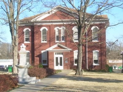
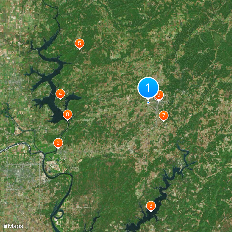
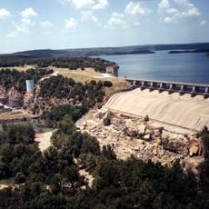
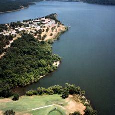
Cherokee County is an administrative division in northeastern Oklahoma with extensive lakes and river systems throughout its territory. The main area centers around Tahlequah, its county seat, surrounded by water, forests, and rural lands.
History
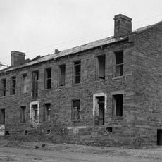
This territory was established as a county in 1907 when Oklahoma became a state. Its origins trace back to earlier administrative districts within the Cherokee Nation.
Culture
The region is deeply rooted in Cherokee heritage and this connection shapes how the place feels and functions today. Local names, streets, and institutions reflect this living connection to Native American traditions.
Practical
Exploring this area is easiest by car, since lakes and rivers are spread across the region. Local government offices and community services are centered in Tahlequah, the administrative hub.
Did you know?
A significant portion of the population has Cherokee ancestry, setting this county apart from most others in the region. This heritage is visible in local institutions, place names, and how the community functions on a daily basis.
AroundUs brings together thousands of curated places, local tips, and hidden gems, enriched daily by 60,000 contributors worldwide. Discover all places nearby (Oklahoma).
Fort Gibson
26 km
Tenkiller Ferry Lake
28.1 km
Sequoyah State Park
22.7 km
Monastery of Our Lady of the Annunciation of Clear Creek
22.4 km
Cherokee National Capitol
2.7 km
Cherokee Heritage Center
6.2 km
Fort Gibson Dam
21.3 km
Cherokee National Holiday
2.8 km
Cherokee Female Seminary
2.9 km
Fort Gibson National Cemetery
23.8 km
Murrell Home
7.1 km
Doc Wadley Stadium
3.6 kmCherokee Landing State Park
18.7 kmSequoyah Bay State Park
24.7 km
Cherokee National Jail
3 km
Commandant's Quarters
25.4 km
American Legion Hut
3 kmRio Grande Ranch Headquarters Historic District
24.2 kmCherokee National History Museum
2.7 km
Lost City
18 km
Fort Gibson State Historic Site
26 km
Hunter's Home
7.1 kmFitzgerald-Soldier Creek Site 1 Reservoir
25.4 km
Splash Pad
3 kmFort Gibson Stockade
26.1 kmMurrell Home Park
7.2 kmCarlisle Cove Public Use Area
21.3 kmThree Fingers Bay Public Use Area
32.4 kmDiscover hidden gems everywhere you go!
From secret cafés to breathtaking viewpoints, skip the crowded tourist spots and find places that match your style. Our app makes it easy with voice search, smart filtering, route optimization, and insider tips from travelers worldwide. Download now for the complete mobile experience.
A unique approach to discovering new places❞
— Le Figaro
All the places worth exploring❞
— France Info
A tailor-made excursion in just a few clicks❞
— 20 Minutes