Derrimut, Administrative division in western Melbourne, Australia
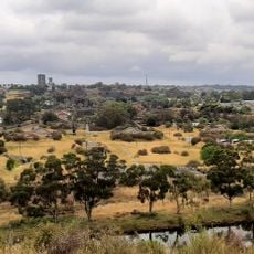
Derrimut is a suburb in western Melbourne situated between Foleys Road, Robinsons Road, Western Ring Road, and Boundary Road within the City of Brimbank local government area. The locality features primarily residential development served by major transport corridors that link it to the wider metropolitan area.
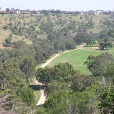
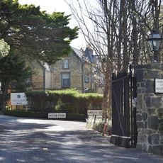
The University of Melbourne operated a field station on the grounds from 1964 to 1996, focusing on agricultural research and studies. This scientific purpose shaped the character of the land for several decades before its use changed.
The suburb takes its name from a respected Aboriginal Elder of the Wurundjeri Woiwurrung people, part of the Kulin Nation. This connection to the region's first inhabitants remains part of the area's identity.
The suburb connects to Melbourne through multiple transport routes, making it accessible from various parts of the city. Getting around the area is straightforward thanks to established road networks and public transport links.
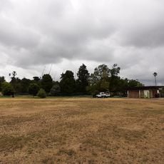
The former university research grounds now house the Sunshine Golf Club, which established its course on this location. This transformation from an academic site to a recreation venue shows how the land's purpose has shifted through the years.
The community of curious travelers
AroundUs brings together thousands of curated places, local tips, and hidden gems, enriched daily by 60,000 contributors worldwide.