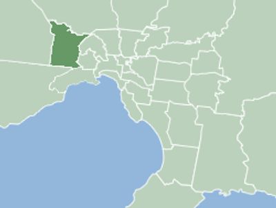
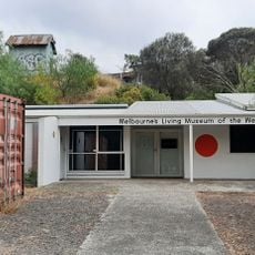
City of Brimbank, Local government area in Melbourne, Australia
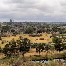
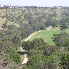
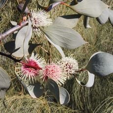
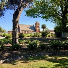
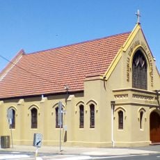
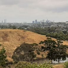
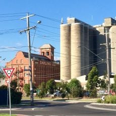
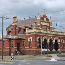
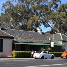
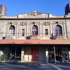
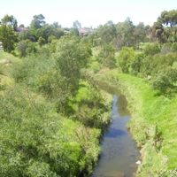
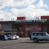
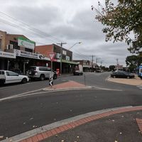
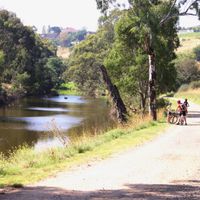
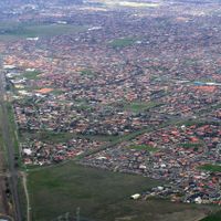
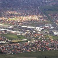
The City of Brimbank is an administrative area in western Melbourne covering roughly 25 suburbs including Sunshine, St Albans, and Keilor with mixed residential and business zones. The area has a blend of housing, shopping centers, parks, and light industry that shape daily life for the hundreds of thousands of people living here.
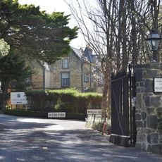
This administrative area was formed in 1994 through the merging of several local councils into one district. The creation responded to the need for more streamlined governance in Melbourne's wider region.
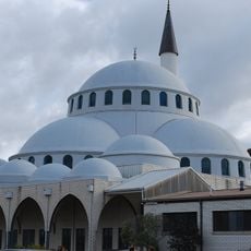
The area brings together people from many different cultural backgrounds who have made their homes here and actively share their traditions. Throughout the year, neighborhood celebrations showcase various customs and cuisines from the communities that live here.
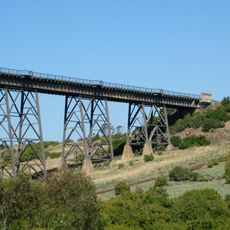
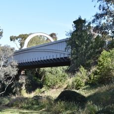
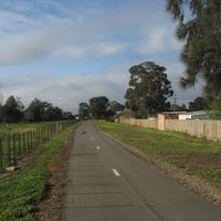
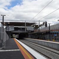
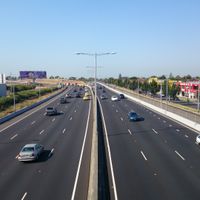
The area sits roughly 13 kilometers northwest of Melbourne's center and connects to other parts of the city through a network of train stations and buses. It helps to use public transport for getting around since the area spreads across many different neighborhoods.
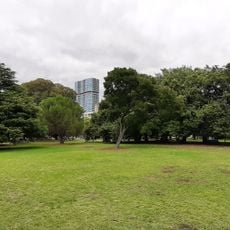
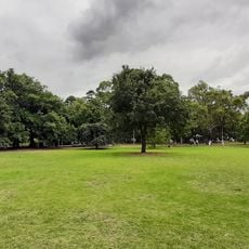
The area has made a public commitment to addressing climate change and works on projects to increase green space. This initiative shows how a local community tries to build greater environmental responsibility into its daily operations.
Location: Victoria
Location: Melbourne
Inception: December 15, 1994
Capital city: Sunshine
Elevation above the sea: 64 m
Shares border with: City of Hume, City of Melton, City of Wyndham, City of Hobsons Bay, City of Maribyrnong, City of Moonee Valley, City of Merri-bek
Website: https://brimbank.vic.gov.au
GPS coordinates: -37.75000,144.80000
Latest update: December 7, 2025 19:23
Calder Park Raceway
9.5 km
Organ Pipes National Park
9.5 km
Flemington Racecourse
10.8 km
Melbourne Showgrounds
10.4 km
Defence Explosive Factory Maribyrnong
7.2 km
Knights Stadium
4.2 km
Brimbank Park
3.7 km
Footscray Park
10.4 km
Sunshine Mosque
2.4 km
Maribyrnong River Viaduct
4.1 km
Queens Park, Moonee Ponds
11 km
Pipemakers Park
8.9 km
Clocktower Centre
11.1 km
Footscray Town Hall
10.8 km
Keilor Botanic Gardens
6.5 km
Melbourne's Living Museum of the West
8.8 km
H.V. McKay Memorial Gardens
4.5 km
St. Prophet Ilija Macedonian Orthodox Church, Footscray
10.2 km
Macedonian Orthodox Cathedral of the Dormition of the Virgin Mary, Sydenham
5.5 km
Afton Street Conservation Reserve
7.4 km
St Monica's Church of Footscray
11 km
John Darling and Son flour mill
3.7 km
Moonee Ponds Court House
11.1 km
Keilor Hotel
4.6 km
Queens Park
10.9 km
Barkly Theatre
10 km
Old Iron Bridge, Keilor
4.6 km
Overnewton
5.3 kmVisited this place? Tap the stars to rate it and share your experience / photos with the community! Try now! You can cancel it anytime.
Discover hidden gems everywhere you go!
From secret cafés to breathtaking viewpoints, skip the crowded tourist spots and find places that match your style. Our app makes it easy with voice search, smart filtering, route optimization, and insider tips from travelers worldwide. Download now for the complete mobile experience.
A unique approach to discovering new places❞
— Le Figaro
All the places worth exploring❞
— France Info
A tailor-made excursion in just a few clicks❞
— 20 Minutes