St Albans, Residential suburb in Melbourne, Australia
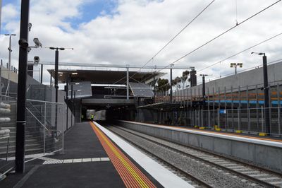
St Albans is a residential neighborhood on Melbourne's western side with shopping centers along Main Road East and retail areas near the train station. The area spreads across blocks of low-rise houses, local shops, and public transport hubs that serve the community.
The area was established in 1887 by the Cosmopolitan Land and Banking Company, which named it after an English cathedral as the city expanded westward. This early development reflected the Victorian era's approach to creating new residential areas around Melbourne.
Vietnamese, Indian, and Maltese communities form the heart of the neighborhood, and you can experience their presence through local restaurants, shops, and places of worship throughout the streets. These groups have shaped how people live and gather in this part of Melbourne.
The neighborhood has three train stations on the Sunbury line and multiple bus routes providing easy connections to central Melbourne. Public transport is the main way to move around the area, with stops well-distributed across the suburb.
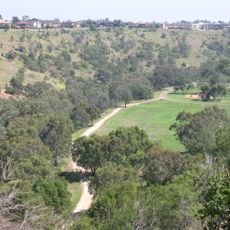
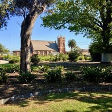
Wetland areas on the edges of the suburb provide homes for native frogs and birds that you might spot during a walk. These green spaces remain protected and show how nature coexists with residential housing.
The community of curious travelers
AroundUs brings together thousands of curated places, local tips, and hidden gems, enriched daily by 60,000 contributors worldwide.