Sunshine, Administrative division in Melbourne, Australia
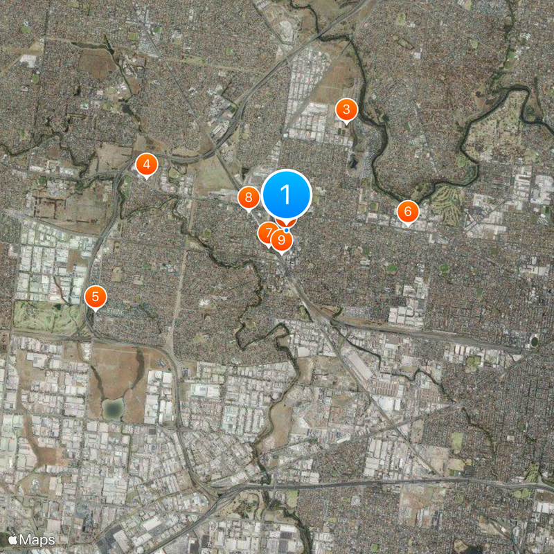
Sunshine is a suburb located about 12 kilometers west of Melbourne's city center in the City of Brimbank local government area. The Sunshine railway station serves as the main transport hub, connecting metropolitan train services, regional rail routes, and bus connections all in one location.
The Harvester Works was established in 1904 and operated as Australia's largest manufacturing plant before being converted into the Sunshine Marketplace in 1992. This transformation marked the shift from industrial production to a new commercial purpose for the site.
The suburb is home to people from Australian, English, Vietnamese, Chinese, and Irish backgrounds, creating a diverse community that shapes daily life and local character. This mix influences how the area feels and functions as a neighborhood.
The railway station is the main access point and offers good connectivity with multiple transport options in one location for reaching Melbourne and surrounding areas. It helps to check schedules in advance, as service frequency varies depending on time of day and day of week.
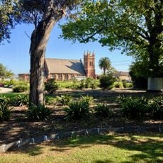
The H.V. McKay Memorial Gardens from 1909 remain one of the few surviving industrial gardens in Australia, preserving a piece of the site's heritage. This green space offers a glimpse into how factory grounds once looked when plants and open areas coexisted with manufacturing.
The community of curious travelers
AroundUs brings together thousands of curated places, local tips, and hidden gems, enriched daily by 60,000 contributors worldwide.