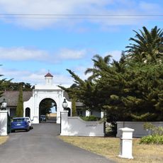
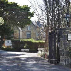
Deer Park, Residential suburb in western Melbourne, Australia
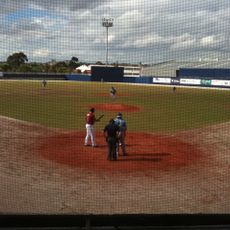
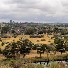
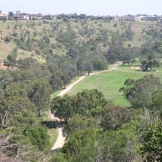
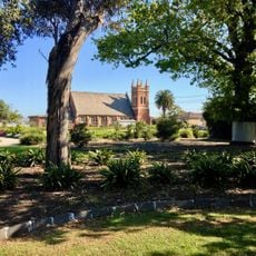
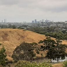
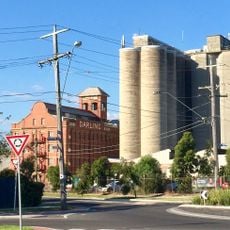
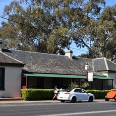
Deer Park is a residential suburb in western Melbourne that spans housing areas, shopping centers, and green spaces along Kororoit Creek. The area combines everyday infrastructure with open spaces, forming a typical suburban landscape.
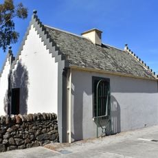
The area developed from Kororoit Creek Village to Deer Park around 1889 after a hunting club established facilities in the 1880s. This shift marked the beginning of modern suburban growth in the location.
The area takes its name from a hunting club that kept deer in the 1880s, an origin reflected in how locals understand their neighborhood. This heritage shapes the local identity even as the suburb has evolved into a residential community.
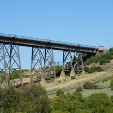
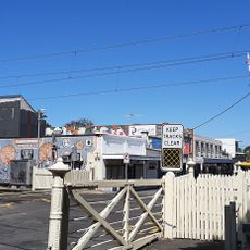
The area is accessible via Deer Park railway station on the Serviceton line, which offers regular connections to Melbourne. Bus routes and Ballarat Road connect the suburb to other parts of the city, allowing easy movement around.
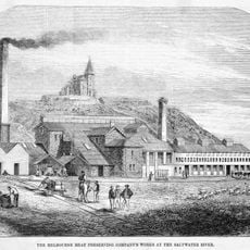
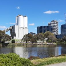
In the 1870s, one of Melbourne's first explosives factories was established here, paving the way for industrial development of the area. This heritage shapes how the suburb transformed from its industrial roots into a residential community.
Location: Victoria
Location: City of Brimbank
Location: City of Melton
Elevation above the sea: 52 m
Shares border with: Ravenhall, Burnside, Albanvale, Cairnlea, Ardeer, Sunshine West, Derrimut
GPS coordinates: -37.76300,144.76700
Latest update: December 7, 2025 20:46
Calder Park Raceway
10.2 km
Organ Pipes National Park
10.5 km
Flemington Racecourse
13.2 km
Melbourne Showgrounds
12.8 km
Defence Explosive Factory Maribyrnong
9.9 km
Knights Stadium
6.9 km
Brimbank Park
7 km
Footscray Park
12.5 km
Sunshine Mosque
3.1 km
Maribyrnong River Viaduct
7.1 km
Pipemakers Park
11.4 km
Footscray Town Hall
12.7 km
Keilor Botanic Gardens
9.7 km
Melbourne's Living Museum of the West
11.3 km
H.V. McKay Memorial Gardens
5.8 km
St. Prophet Ilija Macedonian Orthodox Church, Footscray
12 km
Macedonian Orthodox Cathedral of the Dormition of the Virgin Mary, Sydenham
6.6 km
Afton Street Conservation Reserve
10.2 km
St Monica's Church of Footscray
13 km
John Darling and Son flour mill
5.2 km
Keilor Hotel
7.8 km
Old Iron Bridge, Keilor
7.8 km
Barkly Theatre
12 km
Australian Beam Wireless Receiving Station
10.7 km
Overnewton
8 km
Saltwater River Crossing Site and Footscray Wharves Precinct
13.1 km
Interlocking Railway Crossing Gates
12.4 km
Overnewton Gatehouse
7.6 kmVisited this place? Tap the stars to rate it and share your experience / photos with the community! Try now! You can cancel it anytime.
Discover hidden gems everywhere you go!
From secret cafés to breathtaking viewpoints, skip the crowded tourist spots and find places that match your style. Our app makes it easy with voice search, smart filtering, route optimization, and insider tips from travelers worldwide. Download now for the complete mobile experience.
A unique approach to discovering new places❞
— Le Figaro
All the places worth exploring❞
— France Info
A tailor-made excursion in just a few clicks❞
— 20 Minutes