
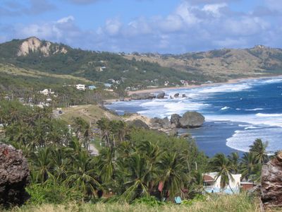
Bathsheba, town in Saint Joseph, Barbados
Location: Saint Joseph
Elevation above the sea: 1 m
Website: http://barbados.org/bathsheb.htm#.UYdy6qL8HmU
GPS coordinates: 13.21417,-59.52361
Latest update: March 28, 2025 22:39
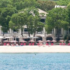
Sandy Lane
12.6 km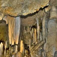
Harrison's Cave
6.3 km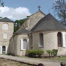
St. James Church, Barbados
12.7 km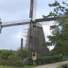
Morgan Lewis Windmill
8.2 km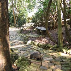
Barbados Wildlife Reserve
9.6 km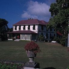
Francia Great House
9 km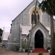
All Saints Chapel of Ease
11.5 km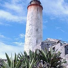
Ragged Point Lighthouse
11.3 km
Folkestone Marine Park and Museum
12.9 km
Heywoods Beach
12.5 km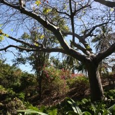
Andromeda Botanic Gardens
972 m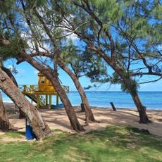
Bath Beach
6.2 km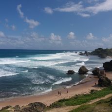
The Soup Bowl
65 m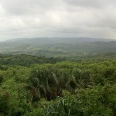
Scotland District
6.3 km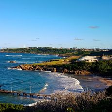
Skeetes Bay Beach
9.6 km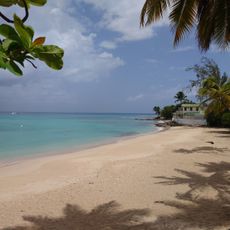
Mullins Beach
13.1 km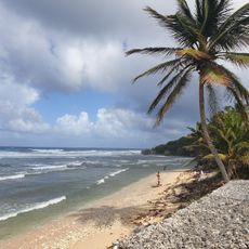
Martin's Bay Beach
3.7 km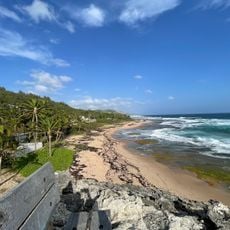
Lakes Beach
4.7 km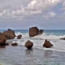
Walkers Beach (lapyahan sa Barbados)
4.9 km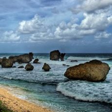
Lakes Beach (lapyahan sa Barbados)
3.6 km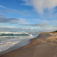
Morgan Lewis Beach
7.5 km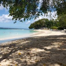
Sandy Lane Beach
13.2 km
Sam Lord's Castle
13.3 km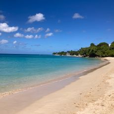
Reed's Bay Beach
12.8 km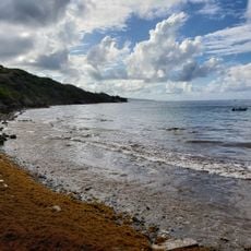
Consett Bay Beach
7.1 km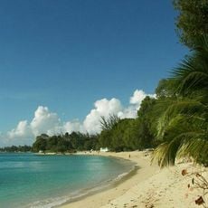
Gibbes Beach
13.1 km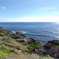
Spring Bay
11.5 km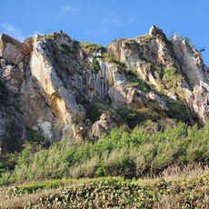
Walkers Beach
6.2 kmVisited this place? Tap the stars to rate it and share your experience / photos with the community! Try now! You can cancel it anytime.
Discover hidden gems everywhere you go!
From secret cafés to breathtaking viewpoints, skip the crowded tourist spots and find places that match your style. Our app makes it easy with voice search, smart filtering, route optimization, and insider tips from travelers worldwide. Download now for the complete mobile experience.

A unique approach to discovering new places❞
— Le Figaro
All the places worth exploring❞
— France Info
A tailor-made excursion in just a few clicks❞
— 20 Minutes