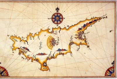
Geography of Cyprus, Mediterranean island terrain in Eastern Mediterranean Sea.
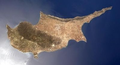
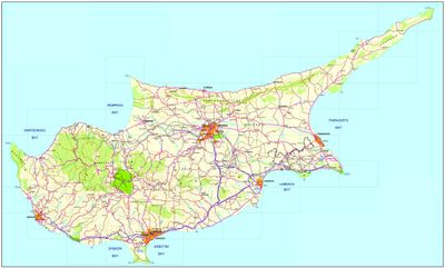
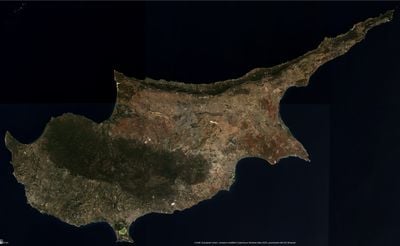
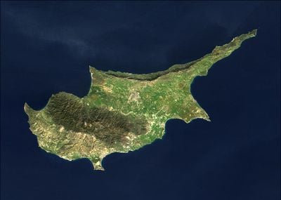
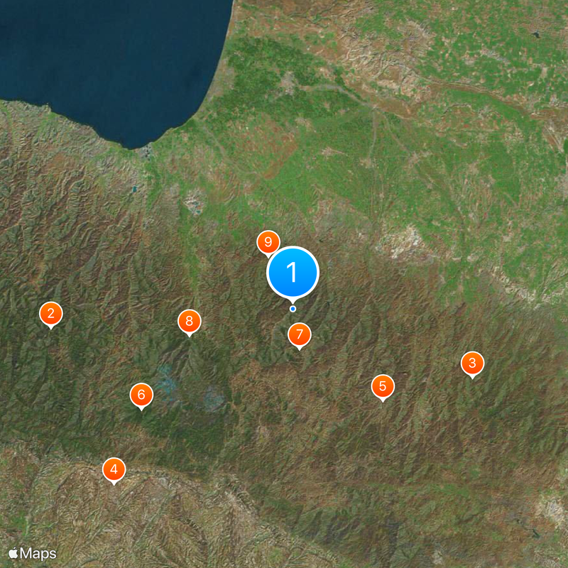
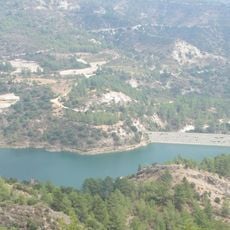
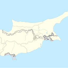
The geography of Cyprus is an island landscape in the eastern Mediterranean with two parallel mountain ranges and a central lowland. The Troodos range in the south and the Kyrenia mountains in the north frame the Mesaoria plain, which crosses the land from coast to coast.
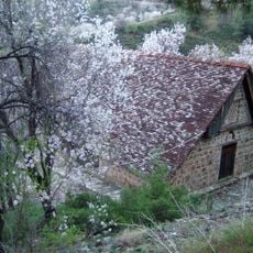
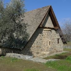
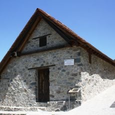
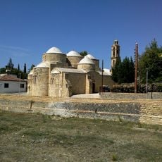
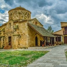
Copper mines in the Troodos massif supplied the ancient world with metal and gave the island its name. Over millennia, Greeks, Romans, Byzantines and other peoples shaped land use and left behind terraces and irrigation systems.
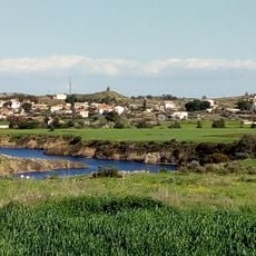
The Mesaoria plain stretches between both mountain ranges and supplies wheat, vegetables and citrus to local markets. Farmers still use irrigation channels that trace back to centuries-old techniques.
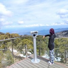
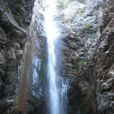
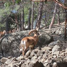
The highest point sits at Olympos at 1952 meters and offers hiking paths through pine forests and rock formations. Coastal sections alternate between sandy beaches and steep cliffs, often within short distances of each other.
The Larnaka salt lake turns into a rest stop for thousands of pink flamingos on their migration route during winter. On clear days, you can see both the north and south coasts of the island at the same time from Troodos peaks.
The community of curious travelers
AroundUs brings together thousands of curated places, local tips, and hidden gems, enriched daily by 60,000 contributors worldwide.