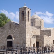
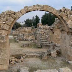
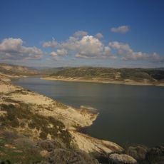
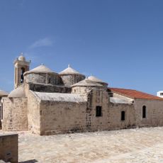
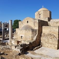
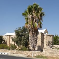
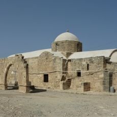
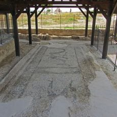
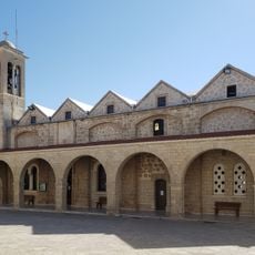
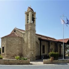
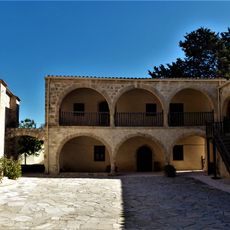
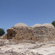
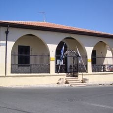
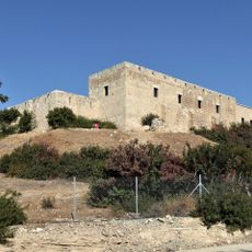
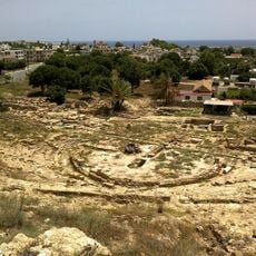
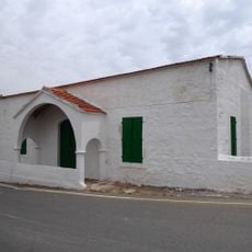
Anarita, community in Paphos District, Republic of Cyprus
Location: Paphos District
Elevation above the sea: 90 m
Shares border with: Episkopi, Nata, Phinikas, Mandria, Timi, Agia Varvara
Website: http://anarita.org
GPS coordinates: 34.74057,32.53375
Latest update: March 11, 2025 00:13
Petra tou Romiou
12.1 km
Sanctuary of Aphrodite at Kouklia
5.2 km
Chrysopolitissa
11.1 km
Saranta Kolones
11.5 km
Church of Panagia Theoskepasti
10.9 km
Asprokremmos Reservoir
2.4 km
Páfoksen bysanttilainen museo
11 km
Agia Paraskevi
6.8 km
Paphos Archaeological Museum
10.1 km
Panagia Chrysopolitissa Church
11.1 km
Agia Solomoni church and catacombs
11.3 km
Marcello Hill
5.4 km
Saint Anthony church, Paphos
10.8 km
Agios Georgios Church (Acheleia)
4.4 km
Panagia Katholiki, Kouklia, Cyprus
5.3 km
Paphos Walkway
11.3 km
Agios Theodosios, Acheleia
4.6 km
Odeon of Paphos
11.2 km
Pebble Mosaic in Fabrica Hill
11.3 km
Agios Theodoros Cathedral
11 km
St Luke's Church, Kouklia
5.2 km
Stavros tis Minthis Monastery
10.1 km
Frankish Baths
11.1 km
Ethnographic Museum in Paphos
10.9 km
Royal Manor, Kouklia, Cyprus
5.3 km
Ancient theatre in Paphos
11.2 km
Agios Georgios Church (Paphos)
11 km
Kouklia Mosque
5.3 kmReviews
Visited this place? Tap the stars to rate it and share your experience / photos with the community! Try now! You can cancel it anytime.
Discover hidden gems everywhere you go!
From secret cafés to breathtaking viewpoints, skip the crowded tourist spots and find places that match your style. Our app makes it easy with voice search, smart filtering, route optimization, and insider tips from travelers worldwide. Download now for the complete mobile experience.
A unique approach to discovering new places❞
— Le Figaro
All the places worth exploring❞
— France Info
A tailor-made excursion in just a few clicks❞
— 20 Minutes