Cotubanamá National Park, National park in southeastern Dominican Republic
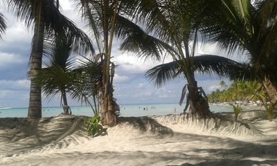
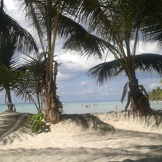
Cotubanamá National Park covers 791.9 km² across La Altagracia and La Romana provinces, including 110 km² of Saona Island and the 22-hectare Isla Catalinita. Its trapezoidal territory holds humid and dry subtropical forest, mangroves, beaches, cliffs and hundreds of caves, with 80% of the land sitting on limestone and coral subsoil. The photograph shows pale beige sand mounds framed by two coconut palms whose fronds arch over shallow turquoise water.
The protected area was established in 1975 as one of the Dominican Republic's early conservation efforts. Archaeological remains scattered throughout the park show how indigenous people inhabited and used these lands long before modern times.
The park's name honours Cotubanamá, the Taíno cacique of the Higüey chiefdom, hanged in Santo Domingo in 1504 on the orders of governor Nicolás de Ovando. In the caves of José María, Ramoncito and Berna, Taíno people left thousands of pictographs, paintings, petroglyphs and carvings; more than 20 ceremonial plazas and over eight indigenous cemeteries lie within the park.
Entry points are available at Bayahibe and Boca de Yuma, and a local guide is needed for exploring specific trails and cave systems. Bring sturdy shoes and water, as the terrain can be rough and caves require careful movement.
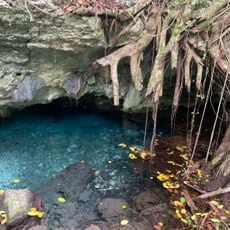
The park's caves hold more than 20 ceremonial plazas and over eight indigenous cemeteries, and the caverns of Jose Maria, Ramoncito and Berna carry thousands of Taíno pictographs, paintings and petroglyphs. At the Padre Nuestro complex, freshwater pools in Cueva de Chicho, Cueva El Toro and Cueva Brujo once supplied drinking water.
The community of curious travelers
AroundUs brings together thousands of curated places, local tips, and hidden gems, enriched daily by 92,897 contributors worldwide.