Chest opened
+${chestReward.xp} XP
Explorer
NOUVEAU ×${chestReward.collectible.quantity}
tapez pour fermer
Chest locked

Open chests in the app

Around Us is built for your phone — chests unlock when you walk, explore and capture nearby places.

Enable Location

We need your location to show you interesting places around you

Discover nearby places

Find interesting locations and hidden gems around you

Precise directions

Get accurate directions and distances to places

Your location is never shared with other users. It's only used when you tap the location button.

Log in to your account

Start exploring — it's free

Trusted by 72,986 travelers worldwide

Continue with Google
Continue with Apple
or

We will send you a code to connect

By continuing, you accept our Terms and Conditions and our Privacy Policy

Check your inbox

We've sent a pincode in your inbox. Please enter the code below.

Braye du Valle
Discussion Reviews Photo
3.4k Popularity

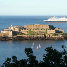
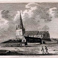
Braye du Valle, Historical waterway in Vale, Guernsey.

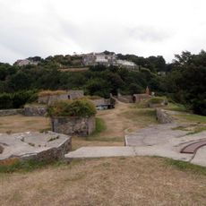
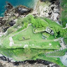
Braye du Valle was a natural tidal channel on the island of Guernsey that once separated the northern peninsula of Vale from the rest of the island, running from Grand Havre to St Sampson's Harbour. Today, Vale Pond is the only remaining stretch of open water from that former channel, now set within a nature reserve.

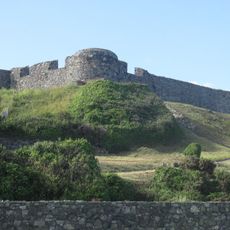
For centuries, this channel made Vale effectively a separate island at high tide, cutting it off from the rest of Guernsey. In 1806, Governor Sir John Doyle ordered the channel to be drained and filled as part of Guernsey's military defenses during the Napoleonic Wars.

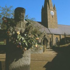
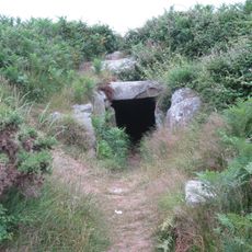
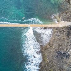
The names Pont Allaire, Pont Colliche, and Grand Pont still appear on local maps and road signs today, keeping the memory of the old crossing points alive. Locals and visitors who walk the area around Vale Pond can still notice how the landscape dips and opens where the water once flowed.

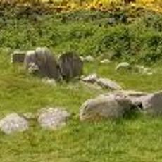
Vale Pond and the paths around it are easy to walk, with mostly flat ground that suits visitors of different abilities. Dry weather makes the visit more comfortable since some of the paths near the water can get muddy after rain.

Because of Guernsey's tidal range of around 10 meters (33 feet), the channel would drain enough at low tide to let people cross on foot without a boat. This meant Vale was not always cut off, and islanders could time their crossings around the tides rather than relying on bridges.

The community of curious travelers

AroundUs brings together thousands of curated places, local tips, and hidden gems, enriched daily by 60,000 contributors worldwide.

Start exploring
Location
GPS coordinates
49.48700,-2.53500
Latest update
March 3, 2026 13:59
Reviews
Share your experience

No review yet

Discussions
Start a discussion...

No discussion yet

« Braye du Valle - Historical waterway in Vale, Guernsey » is provided by Around Us (aroundus.com). Images and texts are derived from Wikimedia project under a Creative Commons license. You are allowed to copy, distribute, and modify copies of this page, under the conditions set by the license, as long as this note is clearly visible.

Discover hidden gems everywhere you go!

From secret cafés to breathtaking viewpoints, skip the crowded tourist spots and find places that match your style. Our app makes it easy with voice search, smart filtering, route optimization, and insider tips from travelers worldwide. Download now for the complete mobile experience.

Around Us App Screenshot

A unique approach to discovering new places

Le Figaro

All the places worth exploring

France Info

A tailor-made excursion in just a few clicks

20 Minutes

Around Us
Travel Guide & Maps
Download

Send to your phone

QR Code
1

Open the camera app on your mobile.

2

Point at the QR code with your camera. A notification will appear.

3

Tap the notification to open the link.