
Jumba Yaka Forest Park, protected area
Location: Central River Division
Inception: January 1, 1954
GPS coordinates: 13.70167,-15.43472
Latest update: March 5, 2025 02:25
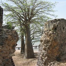
Kunta Kinteh Island
109 km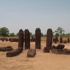
Senegambian stone circles
60.8 km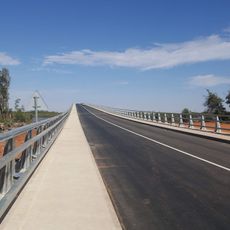
Senegambia bridge
25.4 km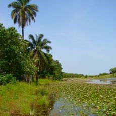
Kiang West National Park
63.1 km
River Gambia National Park
51.9 km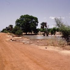
Bao Bolong Wetland Reserve
51.1 km
MacCarthy Island
74.7 km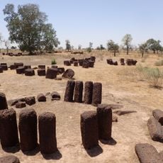
Stone circles Sine Ngayène
10.3 km
Cercles de pierres de Wassu
61.1 km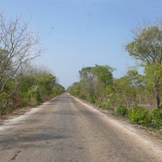
Mutaro Kunda Forest Park
55.8 km
Deer Island (Gambia)
42.3 km
Isla Sepu
64.1 km
Isla Brikama
53.4 km
Bird Island
55 km
Cercles de pierres de Kerbatch
36.6 km
Sankulay Kunda Bridge
75.1 km
Isla Pangon
71.1 km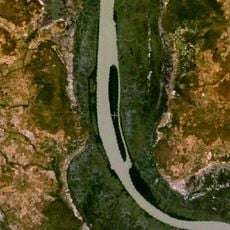
Isla Dankunku
16.8 km
Isla Ba Faraba
28.1 km
Mimang Island
57 km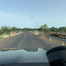
Sofanyama Bridge
28.4 km
Isla Njubou
20 km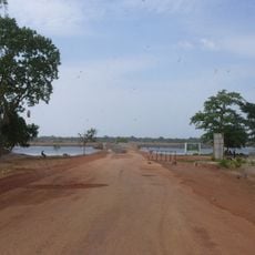
Brumen Bridge
66 km
Pappa Island
24.8 km
Little Pappa Island
22.5 km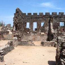
Fort James Island
109 km
Historic Georgetown
10 km
Slave House
74.7 kmReviews
Visited this place? Tap the stars to rate it and share your experience / photos with the community! Try now! You can cancel it anytime.
Discover hidden gems everywhere you go!
From secret cafés to breathtaking viewpoints, skip the crowded tourist spots and find places that match your style. Our app makes it easy with voice search, smart filtering, route optimization, and insider tips from travelers worldwide. Download now for the complete mobile experience.

A unique approach to discovering new places❞
— Le Figaro
All the places worth exploring❞
— France Info
A tailor-made excursion in just a few clicks❞
— 20 Minutes