Senegambian stone circles

Log in to your account

AroundUs is a community-driven map of interesting places, built by curious explorers like you. It grows with every review, story, and photo you share.
Connect to save your favorite spots, contribute locations, and create personalized routes.
Continue with Google
Continue with Apple
Continue with X
Continue with Facebook
Continue with email
By continuing, you accept our Terms and Conditions and our Privacy Policy
Create an account

Senegambian stone circles

Add to collection
Map
Suggest a change
Share

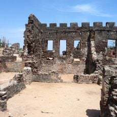
Senegambian stone circles, Archaeological site in West Africa, Gambia and Senegal.

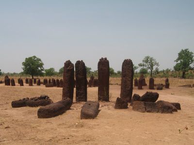
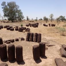
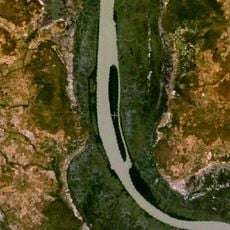
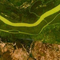
The Senegambian stone circles include more than 1,000 megalithic formations spread across a vast territory straddling the border between Gambia and Senegal. The four principal locations—Sine Ngayène, Wanar, Wassu, and Kerr Batch—each contain dozens of circles made from shaped laterite blocks standing upright, often accompanied by smaller horizontal markers.

Local communities built these monuments from laterite over a span of nearly two millennia, beginning around the third century before the common era. The construction techniques evolved through the centuries, with later circles often using smaller stones and simpler arrangements than earlier ones.

Each of the four major sites carries names from local languages and remains a place where communities honor ancestral memory. Visitors notice the careful spacing and alignment of the stones, reflecting the social importance these formations held for past generations.

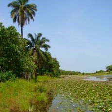
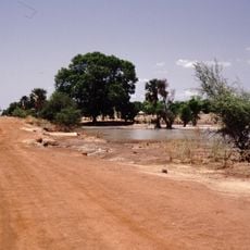
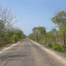
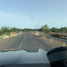
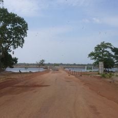
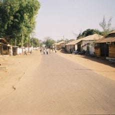
The sites are easiest to reach during the dry season from November through April, when unpaved paths remain passable. Wassu and Kerr Batch offer the most accessible complexes, with local guides available on request to explain the layout and features.

Sine Ngayène contains 52 circles arranged along a Y-shaped axis, forming the largest concentration of megalithic circles in the region. Some of the stones show traces of working patterns that point to specialized tools and careful planning.

Location: Communauté rurale de Médinatoul Salam 2

Address: M4RG+MQ9, Wassu, The Gambia

Opening Hours: Monday-Sunday 08:00-18:00

Phone: +2203414605

GPS coordinates: 13.69111,-15.52250

Latest update: December 5, 2025 22:31

Photos
Gambia : national parks, Atlantic beaches, colonial history and natural reserves

Gambia has many different kinds of landscapes and experiences. Along the Atlantic coast, you will find beaches where it is nice to relax. Inside the country, the Gambia River creates a natural corridor with islands along its path. These areas are good for watching local animals, like birds and...

Reviews

Visited this place? Tap the stars to rate it and share your experience / photos with the community! Try now! You can cancel it anytime.

« Senegambian stone circles - Archaeological site in West Africa, Gambia and Senegal » is provided by Around Us (aroundus.com). Images and texts are derived from Wikimedia project under a Creative Commons license. You are allowed to copy, distribute, and modify copies of this page, under the conditions set by the license, as long as this note is clearly visible.

Discover hidden gems everywhere you go!

From secret cafés to breathtaking viewpoints, skip the crowded tourist spots and find places that match your style. Our app makes it easy with voice search, smart filtering, route optimization, and insider tips from travelers worldwide. Download now for the complete mobile experience.

Around Us App Screenshot

A unique approach to discovering new places

Le Figaro

All the places worth exploring

France Info

A tailor-made excursion in just a few clicks

20 Minutes