North Barrule, Mountain summit in Isle of Man
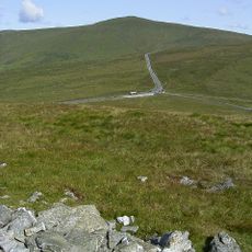
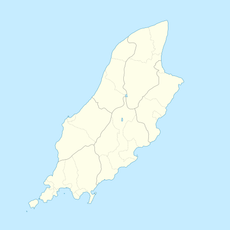
North Barrule is the second-highest peak on the Isle of Man, reaching 565 m at the north-eastern end of a ridge that marks the boundary between the parishes of Lezayre and Maughold. Its slopes are mostly short, tussocky grass, marshy in places, and a dry stone wall runs up toward the summit.
On 23 April 1945, a Boeing B-17 Flying Fortress crashed into the east side of North Barrule, killing all 31 people on board. It remains the deadliest aviation accident to have occurred on Manx soil. The summit itself is the north-eastern end of a ridge forming the boundary between the parishes of Lezayre and Maughold.
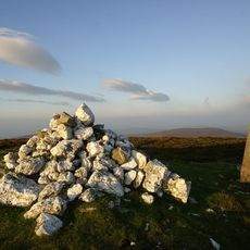
The Manx name Baarool Twoaie derives from Old Norse varŏa-fjall, meaning lookout or cairn mountain, a reminder of the island's Norse place-name layer. The summit forms the boundary between the parishes of Lezayre and Maughold, so walkers cross a parish line on the ridge.
The walk to the summit starts from the Black Hut area and follows paths across open moorland. Weather can change quickly at this height, so bring layers and be prepared for wind and mist.
On clear days, the summit offers views of four different coastlines: Ireland, Cumbria, Wales, and Scotland. This vantage point shows how the Isle of Man sits centrally in the Irish Sea between larger landmasses.
The community of curious travelers
AroundUs brings together thousands of curated places, local tips, and hidden gems, enriched daily by 94,600 contributors worldwide.