Beinn-y-Phott, Mountain summit in Isle of Man.
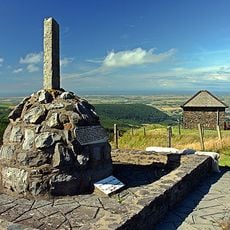
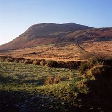
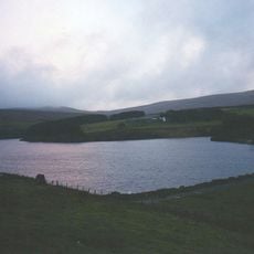
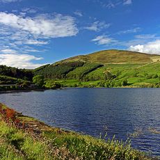
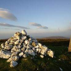
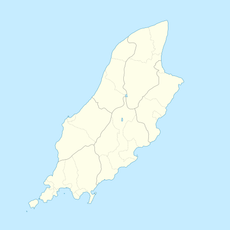
Beinn-y-Phott is a peak of 546 metres (1,791 feet) on the Isle of Man, about 2 km southwest of Snaefell, at the southern end of the parish of Kirk Lezayre. It is covered by moorland of heathers, peat mosses and sedges, and the Mountain Course used for the TT races skirts it near Brandywell.
The name Beinn-y-Phott is Manx for 'turf summit', not 'point of the pot'. The hill rises 546 metres at the southern end of Kirk Lezayre parish, about 2 km southwest of Snaefell. Its slopes are skirted by the Mountain Course used for the TT races, near Brandywell.
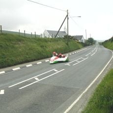
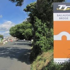
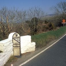
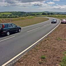
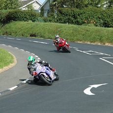
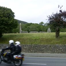
The mountain sits next to the road used for the Isle of Man TT motorcycle races, where riders pass its slopes annually. This proximity to the island's most famous motorsport event shapes how visitors experience this piece of the landscape.
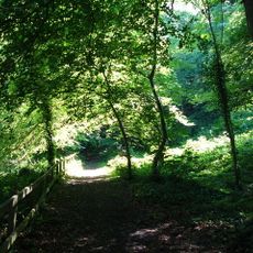
Several hiking routes lead to the summit, with the most popular being roughly 1.7 kilometers long and gaining 118 meters in elevation. The terrain is muddy and uneven in places, so good footwear is essential for a comfortable walk.
Beinn-y-Phott is skirted by the Mountain Course used for the TT races, passing near Brandywell on its slopes. The peak lies about 2 km southwest of Snaefell, at the southern end of the parish of Kirk Lezayre. Locals pronounce the name 'penny pot'.
The community of curious travelers
AroundUs brings together thousands of curated places, local tips, and hidden gems, enriched daily by 94,600 contributors worldwide.