Geography of the Isle of Man
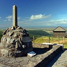
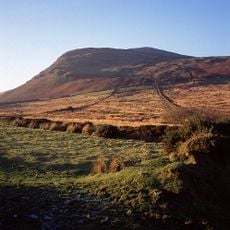
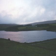
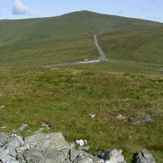
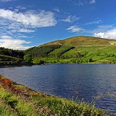
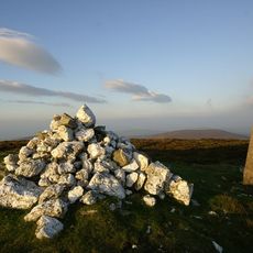
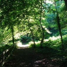
The geography of the Isle of Man describes an island in the Irish Sea between Great Britain and Ireland, with flat plains in the north and rolling hills extending to the south. Steep coastal cliffs, wooded valleys, and Snaefell at over 600 meters elevation characterize the terrain.
Glacial forces thousands of years ago carved out the valleys and plains that shape the island today. Coastal settlements developed over many centuries, leaving behind archaeological remains and defensive structures that mark a continuous history of human occupation.
The island's identity is deeply rooted in its relationship with the sea, visible in how people build their homes and gather along the waterfront. Local customs tied to fishing and navigation shape how communities move through and use the coastal spaces today.
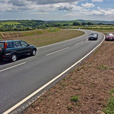
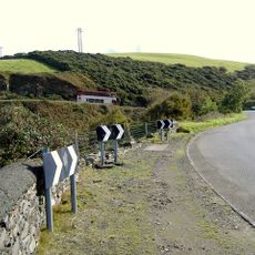
Walking and driving along coastal roads offer the best way to experience the varied landscapes and views from the cliffs. The island welcomes visitors year-round, but strong winds and frequent rainfall mean you should bring proper weather gear.
The Calf of Man is a small island off the southern coast that serves as a nature reserve for rare seabirds and quiet beaches rarely reached by visitors. Rough seas keep this tiny islet isolated and largely unknown to travelers.
The community of curious travelers
AroundUs brings together thousands of curated places, local tips, and hidden gems, enriched daily by 60,000 contributors worldwide.