Saint Lucia

Log in to your account

AroundUs is a community-driven map of interesting places, built by curious explorers like you. It grows with every review, story, and photo you share.
Connect to save your favorite spots, contribute locations, and create personalized routes.
Continue with Google
Continue with Apple
Continue with X
Continue with Facebook
Continue with email
By continuing, you accept our Terms and Conditions and our Privacy Policy
Create an account
Add to collection
Map
Suggest a change
Share

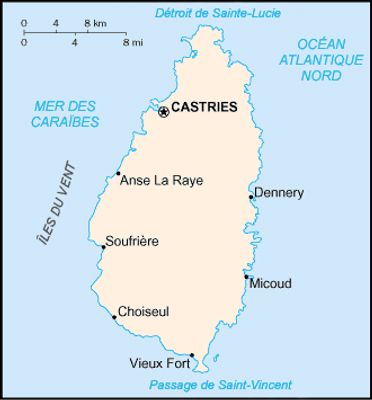
Saint Lucia, Island nation in eastern Caribbean

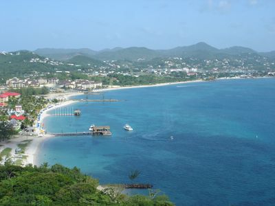
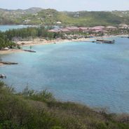
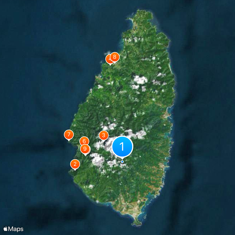
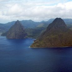
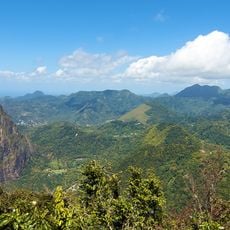
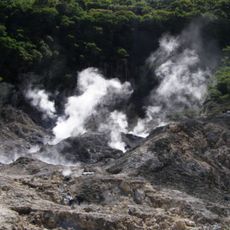
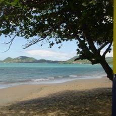
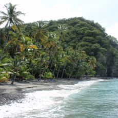
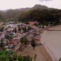
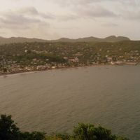
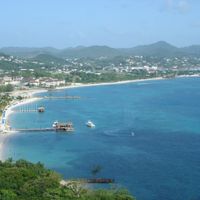
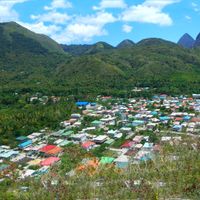
Saint Lucia is a 617-square-kilometer (238-square-mile) territory stretching 43 kilometers (27 miles) with a central mountain range covered in dense tropical rainforest. Two dormant volcanic peaks known as the Pitons rise over 770 meters (2,530 feet) along the southwestern coast, while black and white sand beaches line the shorelines.

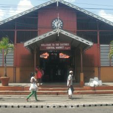
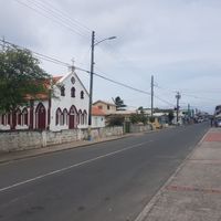
Arawak and later Carib peoples settled the territory from around 200 CE before French colonists established a permanent settlement in 1660. The British took control during several 18th-century wars, with final cession occurring in 1814, while plantation agriculture shaped the land until slavery abolition in 1834.

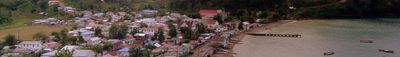
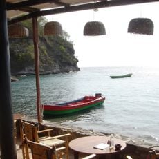
The annual October Creole Heritage Week celebrates French-African roots through traditional quadrille music, roasted breadfruit festivals and public storytelling sessions in villages. Local craftsmen still build handmade canoes using techniques passed down from Carib ancestors, while fishermen use the wooden gommier boats for daily catches.

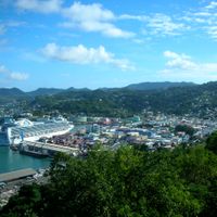
Hewanorra International Airport near Vieux Fort receives direct flights from North America and Europe, while smaller George F. L. Charles Airport in Castries handles regional connections. The May through November rainy season brings storm risks, while December to April offers drier conditions. Local buses run between coastal towns but require patience with irregular schedules.

The Maria Islands off the southeast coast harbor the rare Liamuiga ground snake, one of only four known snake species worldwide that spends its entire existence underground. These tiny reptiles have never been observed breaking through the surface soil.

Location: Micoud

Inception: February 22, 1979

Capital city: Castries

Elevation above the sea: 330 m

Part of: Lesser Antilles, Windward Islands, Caribbean

Shares border with: Venezuela

Website: http://govt.lc

GPS coordinates: 13.82505,-60.97504

Latest update: December 14, 2025 17:42

Photos
Photo locations in Saint Lucia

Saint Lucia combines volcanic landforms with tropical rainforest and coastal stretches shaped by both Atlantic and Caribbean waters. The island ranges from sea level to peaks reaching nearly 1,000 meters (3,280 feet), creating varied environments for photography. You will find subjects that include...

Reviews

Visited this place? Tap the stars to rate it and share your experience / photos with the community! Try now! You can cancel it anytime.

« Saint Lucia - Island nation in eastern Caribbean » is provided by Around Us (aroundus.com). Images and texts are derived from Wikimedia project under a Creative Commons license. You are allowed to copy, distribute, and modify copies of this page, under the conditions set by the license, as long as this note is clearly visible.

Discover hidden gems everywhere you go!

From secret cafés to breathtaking viewpoints, skip the crowded tourist spots and find places that match your style. Our app makes it easy with voice search, smart filtering, route optimization, and insider tips from travelers worldwide. Download now for the complete mobile experience.

Around Us App Screenshot

A unique approach to discovering new places

Le Figaro

All the places worth exploring

France Info

A tailor-made excursion in just a few clicks

20 Minutes