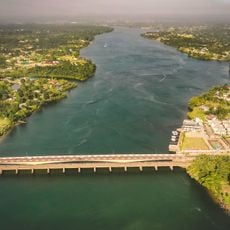
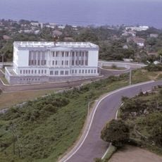
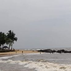
Cape Mesurado, Coastal headland in Monrovia, Liberia
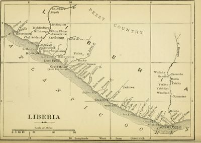
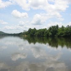
Cape Mesurado is a coastal headland near Monrovia where the terrain rises above the surrounding land and juts out into the Atlantic Ocean. The formation marks a notable point along the Liberian shoreline near the mouth of the Saint Paul River.
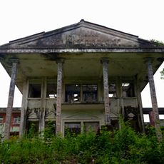
Portuguese sailors named this headland in the 1560s as they mapped the coast. A lighthouse was built on the cape in 1855 to guide ships safely past this stretch of shore.
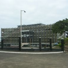
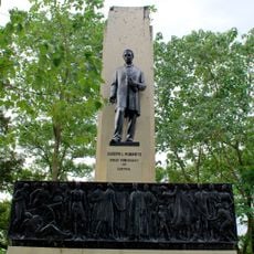
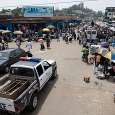
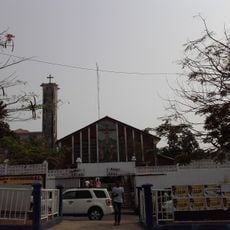
The name Cape Mesurado comes from Portuguese explorers who sailed these waters, and today the headland remains a recognizable landmark for people in the city. Local residents and visitors pass through this area as part of everyday life in Monrovia.
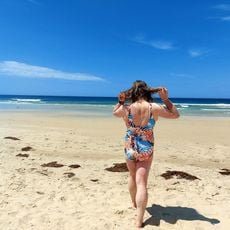
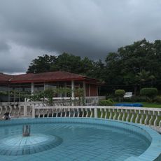
The headland can be reached from the city and offers views across the water and shoreline. Those visiting should be prepared for coastal weather and terrain conditions typical of this region.
A lighthouse built in 1855 still stands on the cape even though it is no longer in use. The structure remains visible to passing ships and serves as a reminder of maritime history along this coast.
The community of curious travelers
AroundUs brings together thousands of curated places, local tips, and hidden gems, enriched daily by 60,000 contributors worldwide.