Geography of Liberia, étude du territoire libérien
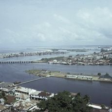
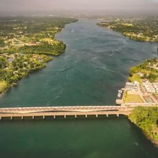
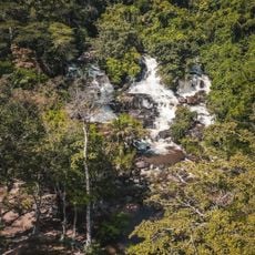
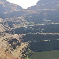
The geography of Liberia extends from a narrow, sandy coastline with mangrove swamps across gently rolling plains to mountain ranges in the northeast, with Mount Wuteve as the highest point exceeding 4,600 feet (1,400 meters). The land is covered by tropical rainforest for about half its area, threaded with numerous rivers that flow directly into the Atlantic and connect the interior to the coast.
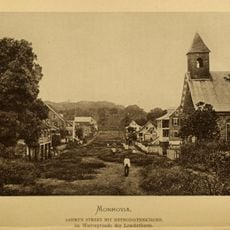
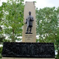
Liberia was founded in the early 1800s as a settlement for freed American slaves, with the capital Monrovia named after President James Monroe. It became the first African country to gain independence, shaping its identity through this unique founding story.
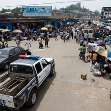
The name Liberia comes from the Latin word for freedom and reflects the country's founding as a home for freed slaves. The landscape shapes daily life, with rivers used for fishing and transportation while communities adapt their settlements to coastal areas and forest regions.
The best time to visit is the drier season from December to March when paths are easier to travel and weather conditions are more stable. The humid months bring heavy rains and flooding in some areas, which makes outdoor activities and travel more difficult.
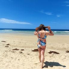
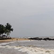
The coastline has a wild appearance shaped by natural structures including a unique system of sandbars and river mouths that constantly shift through waves and currents. These dynamic coastal features create an ever-changing shoreline that looks distinctly different from the more stable inland landscapes.
The community of curious travelers
AroundUs brings together thousands of curated places, local tips, and hidden gems, enriched daily by 60,000 contributors worldwide.