Gars am Kamp, municipality in Horn District, Lower Austria, Austria
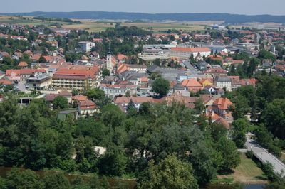
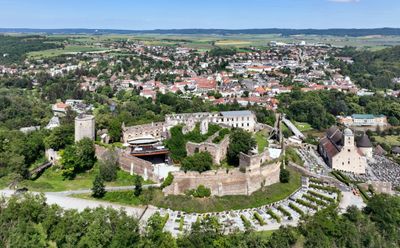
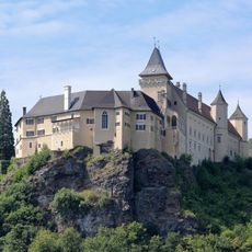
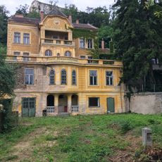
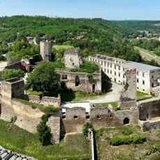
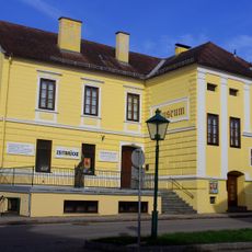
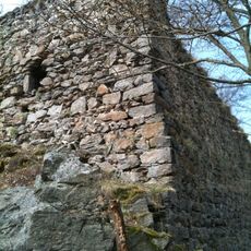
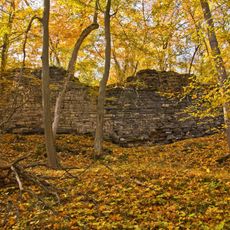
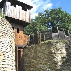
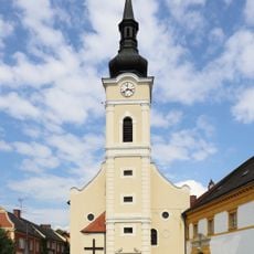
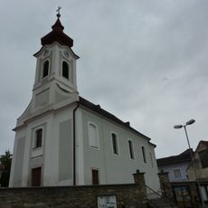
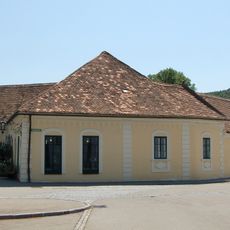
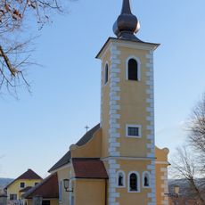
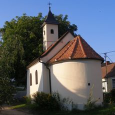
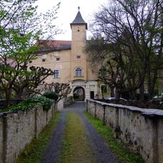
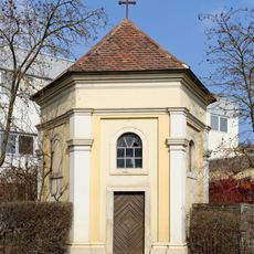
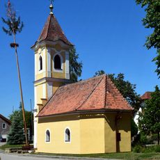
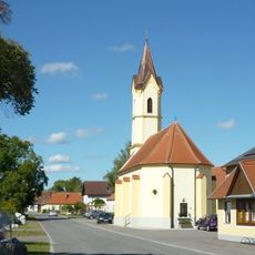
Gars am Kamp is a small market town in the Kamp valley in Lower Austria that spreads along the Kamp River. The municipality consists of several villages and features old stone and timber buildings on narrow streets, along with Burg Gars, whose ruins sit on a rock overlooking the river and date from the 11th century.
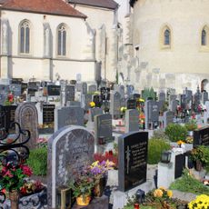
The area was settled around 3000 years ago, and in the 11th century the Babenberg family built Burg Gars as an important stronghold. The town was first mentioned as a market in 1279 and developed from medieval times onward as a trading center, later rediscovered in the 19th century as a popular summer destination.
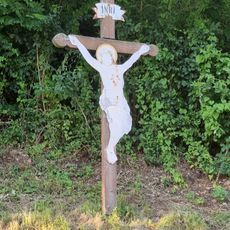
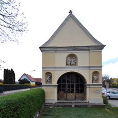
The town has long been a destination for people seeking rest and healing, and this tradition continues to shape life here today. On the small market square, residents gather for shopping and conversation, while traditional crafts like woodworking and pottery keep the rural culture alive.
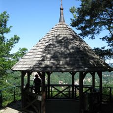
The town is easy to explore on foot with narrow, quiet streets and a network of walking and cycling paths that run along the river and through forests. Visitors find small shops and cafes where they can rest, with the best access by car or regional trains from larger cities.
The castle on the rocks is one of Austria's oldest castles and now serves as an open-air venue for opera and theater performances, especially during summer months. Composers like Franz von Suppé and singer Falco spent their summers here, connecting the place to Austrian music history.
The community of curious travelers
AroundUs brings together thousands of curated places, local tips, and hidden gems, enriched daily by 60,000 contributors worldwide.