Kössen, municipality in Kitzbühel District, Tyrol, Austria
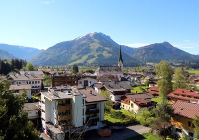
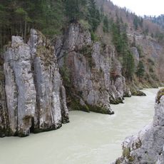
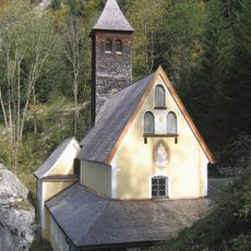
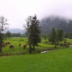
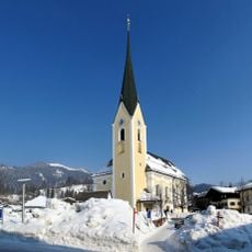
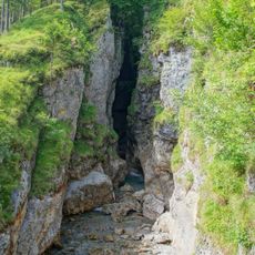
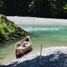
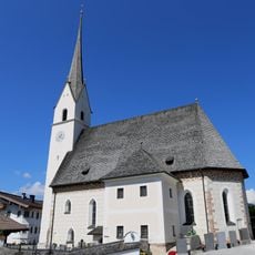
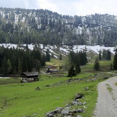
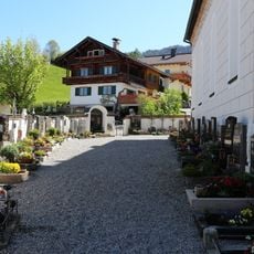
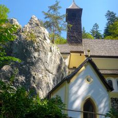
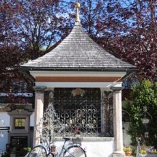
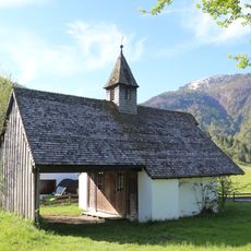
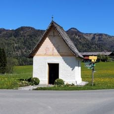
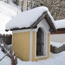
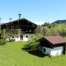
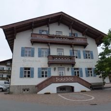
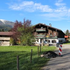
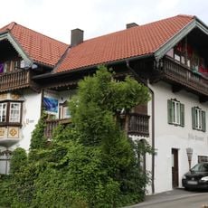
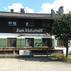
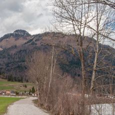
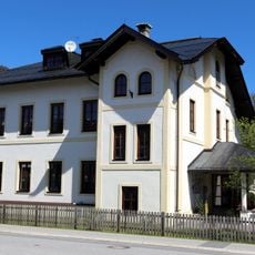
Kössen is a small rural municipality in Austria's Kitzbühel District, nestled in a wide valley basin between the Chiemgauer Alps and Kaiser Mountains. The town features traditional architecture with red-tiled roofs, quiet streets, local shops and cafes, with the Kitzbühler Ache river flowing through the landscape.
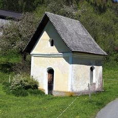
Kössen originated as a small farming village with a history spanning many generations of agricultural life. The town began expanding steadily during the 20th century as it developed into a destination for mountain activities and outdoor recreation.
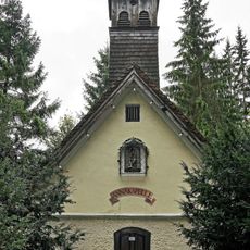
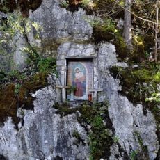
Kössen carries its identity as a farming valley community where traditional customs remain visible in the local architecture and seasonal celebrations. Residents wear traditional clothes during festivals, and the rhythms of village life revolve around community gatherings, local food, and shared customs passed down through generations.
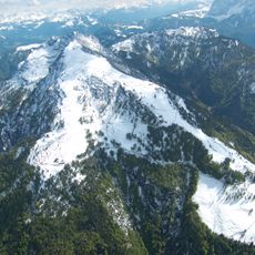
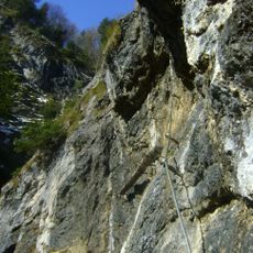
The town is easy to explore on foot with many hiking trails through the surrounding mountains and fields available for all fitness levels. Weather in the mountains can change quickly, so wearing proper footwear and bringing layered clothing helps you stay comfortable while exploring.
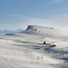
Kössen has been a center for air sports since the 1970s and hosted the world's first hang gliding world championships. The warm air currents rising from surrounding mountain slopes create excellent conditions for paragliding and hang gliding competitions that still draw pilots today.
The community of curious travelers
AroundUs brings together thousands of curated places, local tips, and hidden gems, enriched daily by 60,000 contributors worldwide.