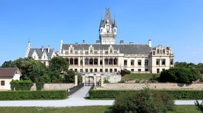
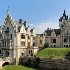
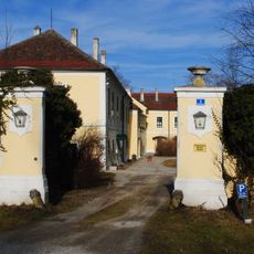
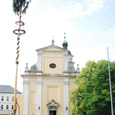
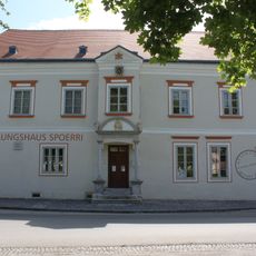
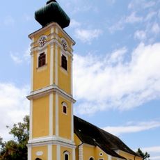
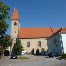
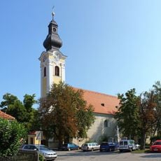
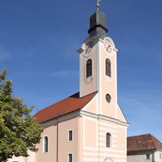
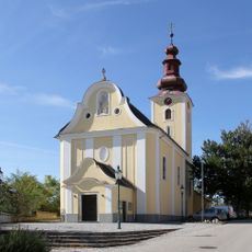
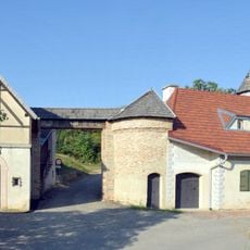
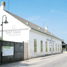
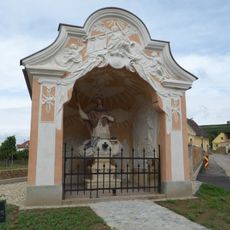
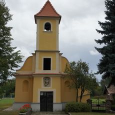
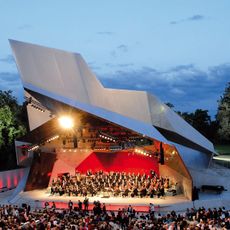
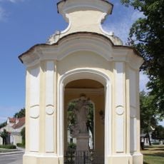
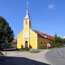
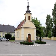
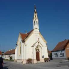
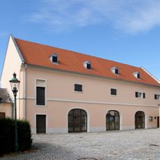
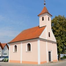
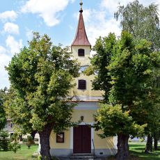
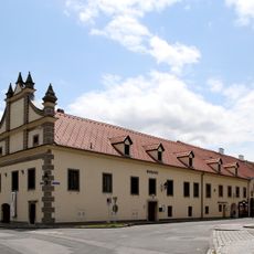
Grafenegg, municipality in Krems District, Lower Austria, Austria
Location: Krems(Land) District
Elevation above the sea: 197 m
Shares border with: Langenlois, Hadersdorf-Kammern, Straß im Straßertale, Fels am Wagram, Grafenwörth, Gedersdorf
Email: gemeinde@grafenegg.gv.at
Website: http://grafenegg.gv.at
GPS coordinates: 48.43000,15.74750
Latest update: March 11, 2025 12:51
Schloss Grafenegg
186 m
Stupa am Wagram
1.8 km
Pfarrkirche Engabrunn
2.3 km
Schloss Walkersdorf
2.2 km
Haus Wittmann
2.2 km
Pfarrkirche Straß im Straßertale
4.8 km
Ausstellungshaus Spoerri
3.7 km
Saints Peter and Paul Church (Hadersdorf am Kamp)
3.8 km
Pfarrkirche Haitzendorf
910 m
Pfarrkirche Etsdorf
1.8 km
Pfarrkirche hl. Andreas Grafenwörth
3.3 km
Pfarrkirche Feuersbrunn
2.6 km
Hadersdorf am Kamp Sachsenberg
3.4 km
Fassbinderei- und Weinbaumuseum Straß
4.9 km
Wegkapelle Johannes Nepomuk Straß im Straßertale
4.9 km
Kath. Filialkirche hl. Maria Magdalena
5 km
Wolkenturm
209 m
Sagmüllner-Kapelle Etsdorf
2.4 km
Nepomukkapelle Feuersbrunn
2.6 km
Saint John of Nepomuk Chapel
3.8 km
Ortskapelle hl. Johannes der Täufer
3 km
Bürgerspitalskapelle Straß im Straßertale
4.8 km
Ortskapelle
2.5 km
Saint Anthony of Padua Chapel
4.1 km
Heimatmuseum, Schüttkasten (herrschaftlich)
3.2 km
Ortskapelle hl. Jakob
2.8 km
Ortskapelle Hl. Dreifaltigkeit
1.3 km
Rathaus/Gemeindeamt
3.7 kmReviews
Visited this place? Tap the stars to rate it and share your experience / photos with the community! Try now! You can cancel it anytime.
Discover hidden gems everywhere you go!
From secret cafés to breathtaking viewpoints, skip the crowded tourist spots and find places that match your style. Our app makes it easy with voice search, smart filtering, route optimization, and insider tips from travelers worldwide. Download now for the complete mobile experience.
A unique approach to discovering new places❞
— Le Figaro
All the places worth exploring❞
— France Info
A tailor-made excursion in just a few clicks❞
— 20 Minutes