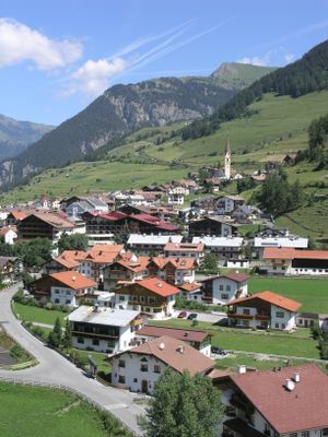
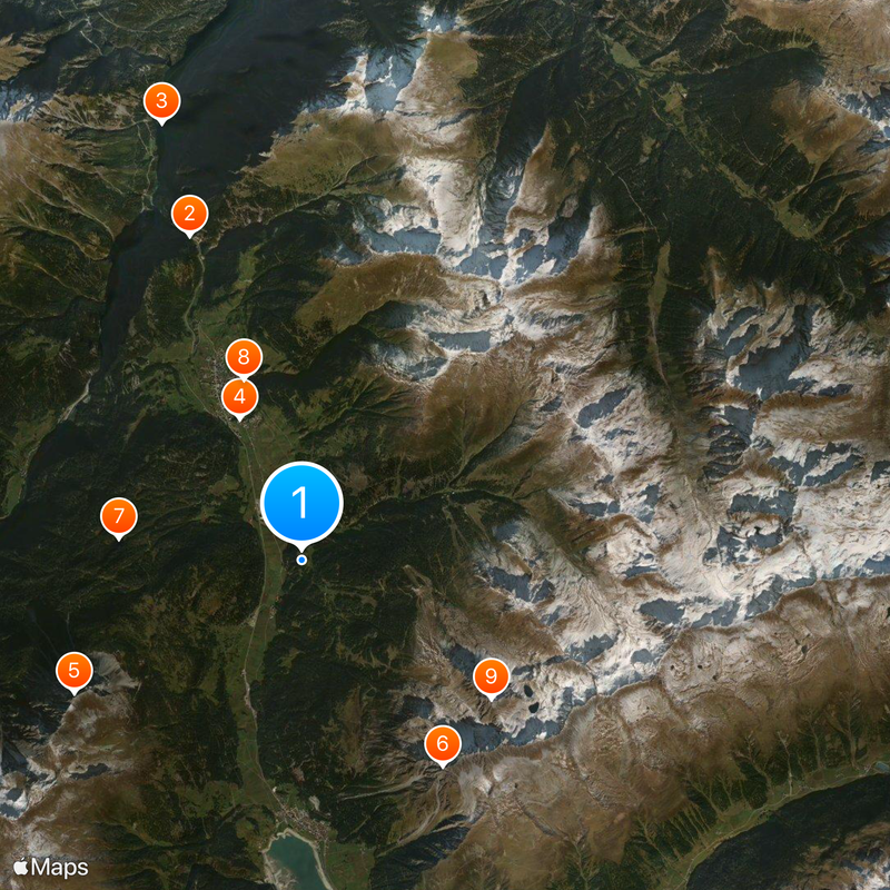
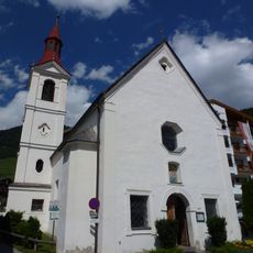
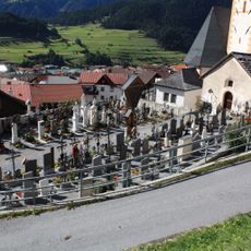
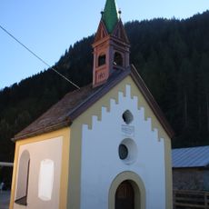
Nauders, Alpine municipality in Landeck District, Austria
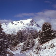
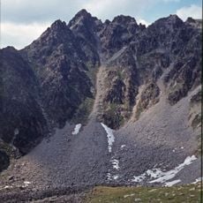
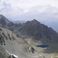
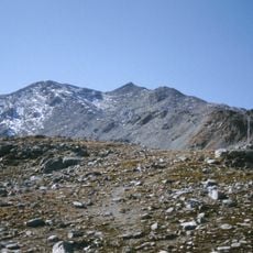
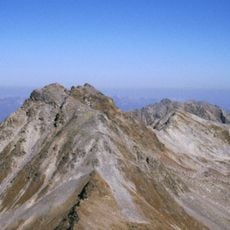
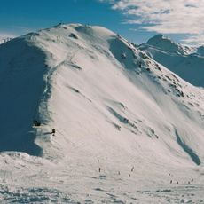
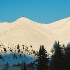
Nauders is an Alpine municipality in Landeck District situated at 1,394 meters (4,576 feet) elevation, ringed by the peaks of the Ötztal Alps. The settlement sits near where Austria, Italy, and Switzerland meet at a single geographic point.
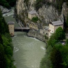
The settlement grew around a customs station established in the 13th century on the ancient Via Claudia Augusta, a vital trade route linking Italy to Raetia. This strategic location made the municipality a crossing point for merchants and travelers for centuries.
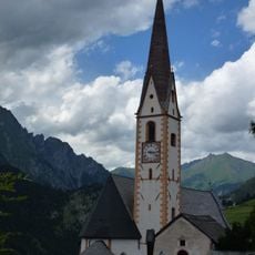
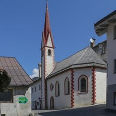
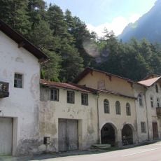
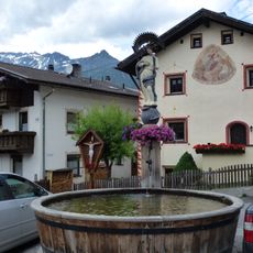
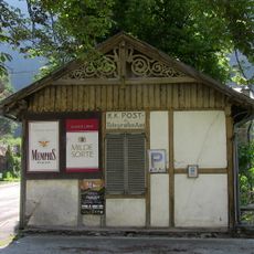
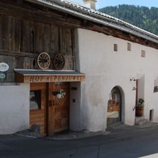
The settlement blends Austrian Alpine traditions with Italian influences visible in its buildings and daily routines. You notice this cross-border character when you walk past older houses and encounter local festivals.
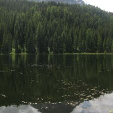
The area offers marked ski slopes and lifts during winter for snow sports, while other seasons attract hikers and mountain walkers. Plan for alpine weather at this elevation and bring appropriate gear for the conditions.
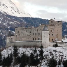
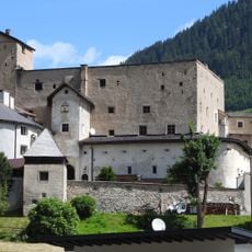
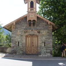
Naudersberg Castle, a medieval stronghold built in the early 14th century, rises above the settlement and reflects an era when the region fell under the bishop of Chur's rule. It remains a rare example of preserved defensive architecture from this mountain region.
Location: Landeck District
Elevation above the sea: 1,394 m
Shares border with: Valsot, Pfunds, Graun im Vinschgau
Email: gemeinde@nauders.tirol.gv.at
Website: https://nauders.tirol.gv.at
GPS coordinates: 46.86667,10.51667
Latest update: December 19, 2025 22:14
Festung Nauders
5.5 km
Altfinstermünz
7.3 km
Schloss Naudersberg
2.5 km
Piz Lad
4.2 km
Klopaier Spitze
4 km
Schwarzsee
3 km
Pfarrkirche Nauders
3 km
Bergkastelspitze
3.7 km
Monte Cantone
8.2 km
Seekarköpfe
7.8 km
Gueser Kopf
5 km
Naudersberg
2.5 km
Tscheyeck
4.8 km
Ehemalige Spitalkirche Hl. Geist, Nauders
3 km
Hotel Hochfinstermünz
7.4 km
Hofkapelle Kompatsch, Nauders
1.4 km
Mariahilferkirche, Nauders
2.9 km
Friedhof Nauders
3 km
Immaculata-Brunnen bei der Pfarrkirche, Nauders
3.1 km
Immaculata-Brunnen bei der Mariahilferkirche, Nauders
2.9 km
Kapelle hl. Karl Borromäus, Nauders
7.4 km
Friedhofskapelle
3 km
Wegkapelle bei Burg Naudersberg, Schlosskapelle
2.4 km
Kapelle hl. Leonhard
2.4 km
Wegkapelle hl. Notburga
3.2 km
Mühlenkapelle/Kapelle zur schmerzhaften Maria
2.7 km
Ehemaliges Postamt Hochfinstermünz
7.4 km
Bauernhaus 133, Nauders
3.1 kmVisited this place? Tap the stars to rate it and share your experience / photos with the community! Try now! You can cancel it anytime.
Discover hidden gems everywhere you go!
From secret cafés to breathtaking viewpoints, skip the crowded tourist spots and find places that match your style. Our app makes it easy with voice search, smart filtering, route optimization, and insider tips from travelers worldwide. Download now for the complete mobile experience.
A unique approach to discovering new places❞
— Le Figaro
All the places worth exploring❞
— France Info
A tailor-made excursion in just a few clicks❞
— 20 Minutes