Enable Location

We need your location to show you interesting places around you

Discover nearby places

Find interesting locations and hidden gems around you

Precise directions

Get accurate directions and distances to places

Your location is never shared with other users. It's only used when you tap the location button.

Klopaier Spitze

Log in to your account

Start exploring — it's free

Trusted by 61,519 travelers worldwide

Continue with Google
Continue with Apple
or

We will send you a code to connect

By continuing, you accept our Terms and Conditions and our Privacy Policy

Check your inbox

We've sent a pincode in your inbox. Please enter the code below.

Klopaier Spitze

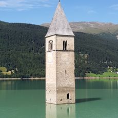
Klopaier Spitze, Mountain peak in Ötztal Alps, Austria and Italy

Description

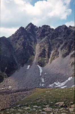
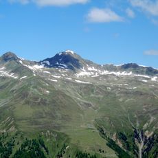
Klopaier Spitze is a mountain in the Ötztal Alps that rises to about 2,918 meters and forms a natural border between Austrian Tyrol and Italian South Tyrol. The peak sits between Nauders on the Austrian side and Graun im Vinschgau on the Italian side, accessible via marked hiking paths.

History

After World War I, the peak became the official border between Austria and Italy as the new territorial boundaries were established in 1919. Since then, the mountain has served as a key marker of this dividing line in the Alps.

Culture

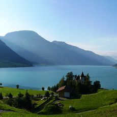
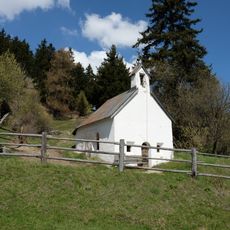
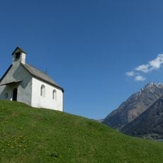
The peak holds a place in hiking traditions on both the Austrian and Italian sides, with local communities regularly making the journey to its summit. People from nearby villages view it as a natural landmark that connects their mountain culture across the border.

Practical

The hike is best done in dry weather since the trails can become slippery after rain or in poor conditions. Plan for a full day of hiking and bring plenty of water, as the climb is steep and takes several hours to reach the top.

Did you know?

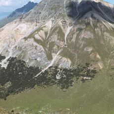
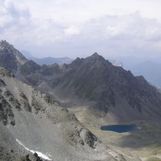
From the summit, visitors can see three major mountain groups: the western Ötztal Alps, the Sesvenna range, and the Ortler massif spread across the landscape. This view of three distinct mountain systems is one of the few vantage points in the region where this perspective is possible.

Location
Elevation above the sea
2,918 m
GPS coordinates
46.83727,10.54617
Latest update
December 14, 2025 13:05

AroundUs brings together thousands of curated places, local tips, and hidden gems, enriched daily by 60,000 contributors worldwide. Discover all places nearby (Nauders).

« Klopaier Spitze - Mountain peak in Ötztal Alps, Austria and Italy » is provided by Around Us (aroundus.com). Images and texts are derived from Wikimedia project under a Creative Commons license. You are allowed to copy, distribute, and modify copies of this page, under the conditions set by the license, as long as this note is clearly visible.

Discover hidden gems everywhere you go!

From secret cafés to breathtaking viewpoints, skip the crowded tourist spots and find places that match your style. Our app makes it easy with voice search, smart filtering, route optimization, and insider tips from travelers worldwide. Download now for the complete mobile experience.

Around Us App Screenshot

A unique approach to discovering new places

Le Figaro

All the places worth exploring

France Info

A tailor-made excursion in just a few clicks

20 Minutes

Around Us
Travel Guide & Maps
Download

Send to your phone

QR Code
1

Open the camera app on your mobile.

2

Point at the QR code with your camera. A notification will appear.

3

Tap the notification to open the link.