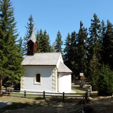
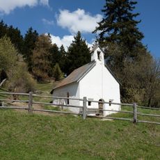
Graun im Vinschgau, Alpine commune in South Tyrol, Italy
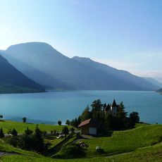
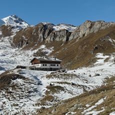
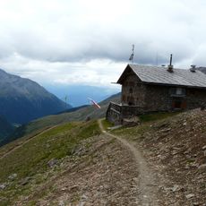
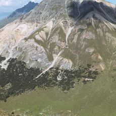
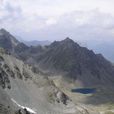
Graun im Vinschgau is a commune in the northernmost part of South Tyrol, touching the borders of Austria and Switzerland at an elevation of 1520 meters. The modern settlement spreads above Lake Reschen, while the original center rests hidden beneath the water.
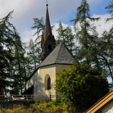
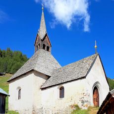
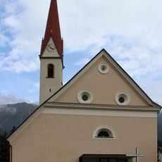
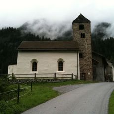
The former village sank beneath the newly created lake in 1950 when engineers built a hydroelectric dam and flooded the valley. Only the medieval church tower from the 14th century remained visible, rising from the water to this day.
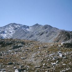
Locals speak a German dialect rooted in centuries of Alpine life, and family names on farmhouses often echo the villages that disappeared underwater. The surrounding meadows and slopes remain in use for grazing and hay production, maintaining agricultural rhythms older than the reservoir itself.
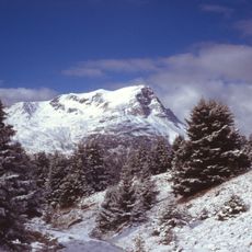
Regular buses from Mals reach the area and continue onward to Nauders in Austria and Martina in Switzerland. The road around the lake stays open throughout the year, though snow often covers the ground in winter and winter tires become necessary.
The tower rising from the water became the official emblem of the commune, symbolizing the loss of the old village. During periods of low water level, stone foundations and remnants of houses sometimes emerge, which older locals still remember from childhood stories.
The community of curious travelers
AroundUs brings together thousands of curated places, local tips, and hidden gems, enriched daily by 60,000 contributors worldwide.