Weißseespitze, Mountain summit in Ötztal Alps, Austria and Italy
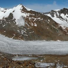
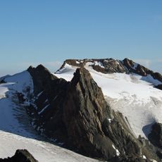
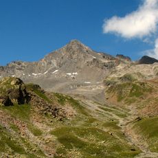
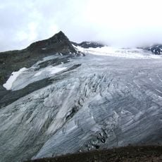
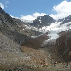
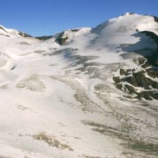
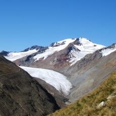
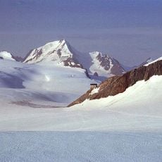
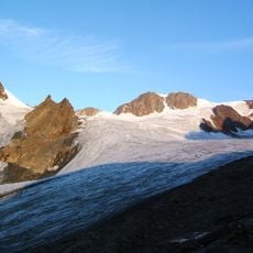
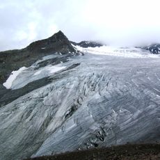
Weißseespitze is a 3,498 m summit in the Weisskamm of the Ötztal Alps, on the border between Tyrol and South Tyrol, at the western corner of the Gepatschferner. Its north side drops 500 m as a firn wall to the Weißseeferner, closing the Kaunertal; south of the peak lie the small Milanzer Ferner and Falginferner remnants. A roughly 10 m ice cap still covered the top in 2021/22.
The summit ice cap's lowest layer is about 6,000 years old, meaning the peak was briefly ice-free until roughly 4,000 BC. In 2019 the Austrian Academy of Sciences drilled a nearly 10 m ice core there before the cap is expected to melt away around 2030, and set up Austria's highest weather station, at 3,498 m as surveyed in 2024. Older maps gave higher figures, from 3,534 m in 1893 to 3,500 m in 2010.
The summit cross vanished in 1997 when crevasses opened in the ice cap, and the Kaunertal ski area's plans to extend lifts to the top have drawn opposition from the Austrian and German Alpine Clubs. The peak also carries a weather station, Austria's highest since 2019.
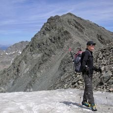
The easiest route starts at the end of the Kaunertaler Gletscherstraße, crossing the Weißseeferner to the Falginjoch and then the west ridge; the only glacier-free ascent runs from the Weißkugelhütte via the Falginjoch. The summit slope is gentle but the north flank drops 500 m as a firn wall, and the ice cap is expected to melt by about 2030.
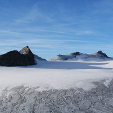
The summit is known for its unusually flat ice cap that looks like a large plateau and differs noticeably from steeper mountain forms. This flat ice field makes it a special example of glacier formations at this high elevation.
The community of curious travelers
AroundUs brings together thousands of curated places, local tips, and hidden gems, enriched daily by 93,639 contributors worldwide.