Im Hinteren Eis, Mountain summit in Ötztal Alps, Italy
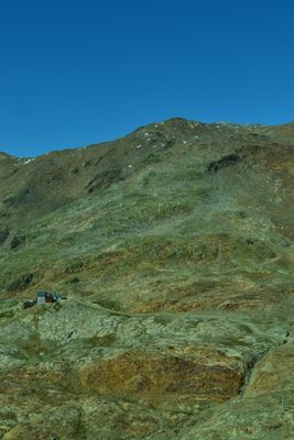
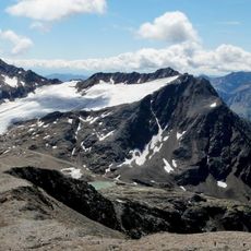
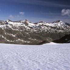
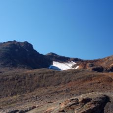
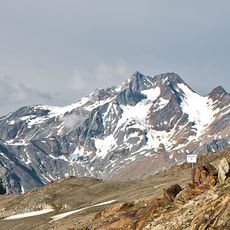
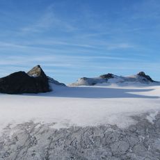
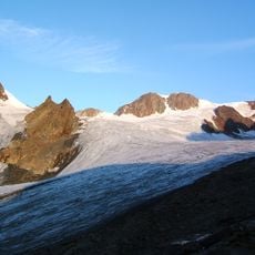
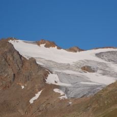
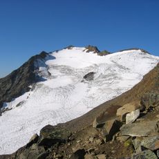
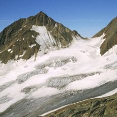
Im Hinteren Eis is a mountain summit in the Ötztal Alps that rises to 3270 meters and features exposed rocky terrain without permanent ice cover. The peak sits along the border between Tyrol and South Tyrol, creating a natural boundary between two Alpine regions.
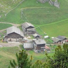
The mountain shows evidence of human activity from prehistoric times, when hunters used the region and relied on natural water sources for their survival. Early visitors left behind archaeological traces that reveal how people adapted to life at high elevations.
The summit sits where two regional traditions meet, and visitors notice how the landscape reflects this division through the languages spoken and customs observed along the trails. The paths connect areas where both Alpine cultures coexist in daily life.
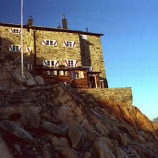
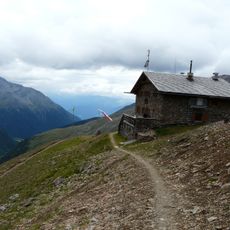
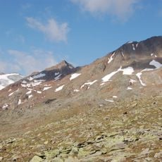
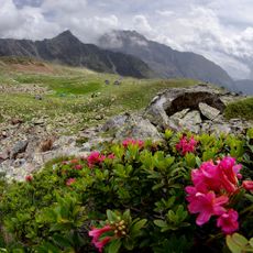
The summit is reachable via a marked trail system that starts from several points in the surrounding area and crosses steep terrain in places. The best time to climb is during the warmer months when higher elevations are snow-free and trails are easier to navigate.
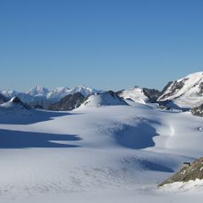
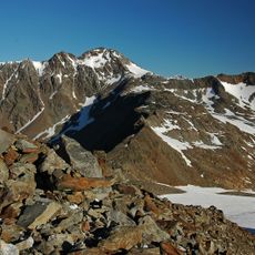
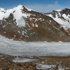
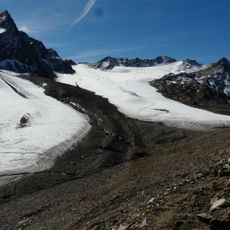
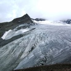
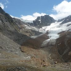
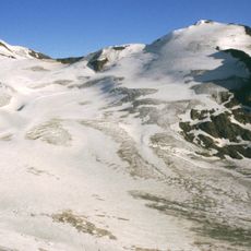
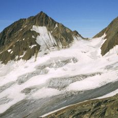
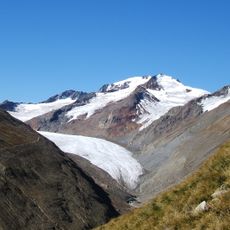
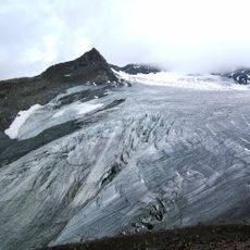
While climbing, visitors can observe the nearby Hochjochferner glacier and notice how it contrasts with the rocky slopes surrounding the summit. The traditional stone cairns along the route are ancient navigation markers that have guided hikers to the peak for generations.
The community of curious travelers
AroundUs brings together thousands of curated places, local tips, and hidden gems, enriched daily by 60,000 contributors worldwide.