Serfaus, Alpine municipality in Landeck District, Austria
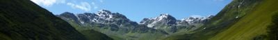
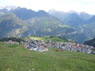
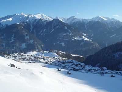
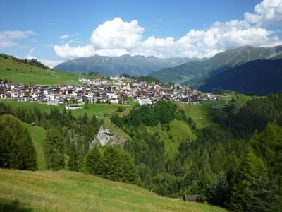
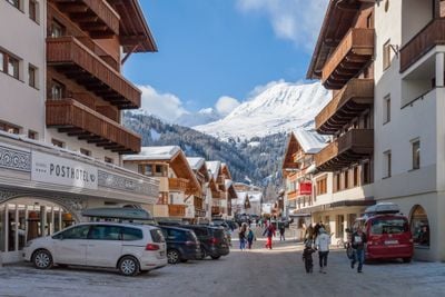
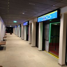
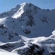
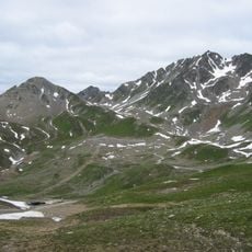
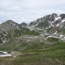
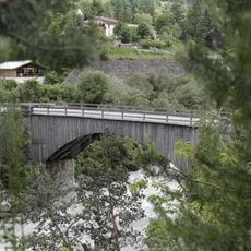
Serfaus is a municipality situated on a high plateau at 1,429 meters in the Landeck District of Tyrol, nestled between the Furgler and Schönjoch peaks. The village is connected by an underground transport system with four stations that moves residents and visitors across the settlement.
Archaeological evidence shows the area was inhabited during the Bronze Age approximately 3,200 years ago. This early settlement pattern reveals how Alpine valleys attracted people despite their remote mountain location.
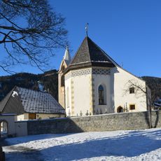
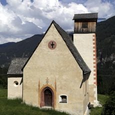
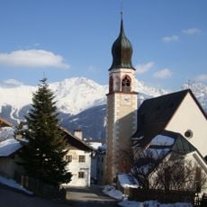
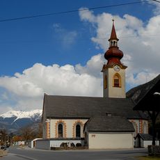
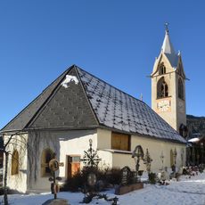
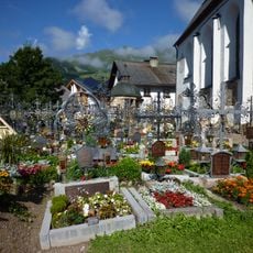
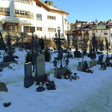
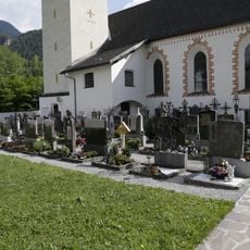
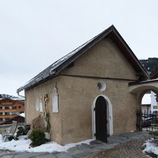
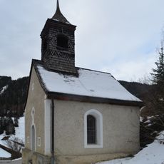
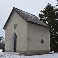
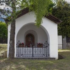
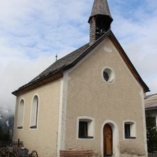
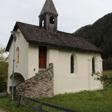
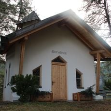
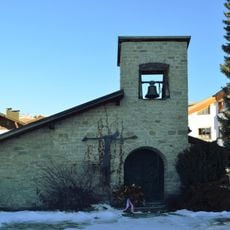
St. Georgen Church anchors the village with its medieval design and serves as a gathering place for the community. Its presence shows how religious traditions continue to shape daily life in this mountain settlement.
The settlement sits at high elevation and is most easily reached via direct access from the valley available year-round. Visitors should prepare for cold temperatures, especially during winter months when snow covers the mountain terrain.
The underground rail system uses hover technology to move across the village, placing it among the world's shortest magnetic levitation trains. This engineering solution reveals how the municipality solved the challenge of connecting a high-altitude settlement with creative infrastructure.
The community of curious travelers
AroundUs brings together thousands of curated places, local tips, and hidden gems, enriched daily by 60,000 contributors worldwide.