
Otterthal, municipality in Neunkirchen District, Lower Austria, Austria
Location: Neunkirchen District
Elevation above the sea: 632 m
Website: http://www.otterthal.at/
Shares border with: Raach am Hochgebirge, Kirchberg am Wechsel, Trattenbach
Email: gemeinde@otterthal.gv.at
Website: http://otterthal.at
GPS coordinates: 47.62273,15.94202
Latest update: March 2, 2025 23:24
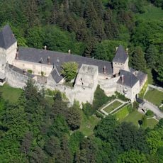
Burg Wartenstein
3.5 km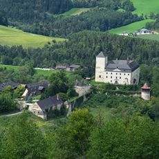
Kranichberg Castle
3.5 km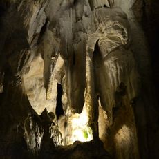
Hermannshöhle
3.1 km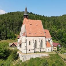
Church of St. Wolfgang
4.4 km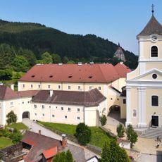
Monastery in Kirchberg am Wechsel
3.9 km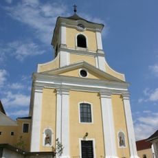
St. Jakob (Kirchberg am Wechsel)
3.9 km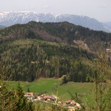
Grasberg
4.4 km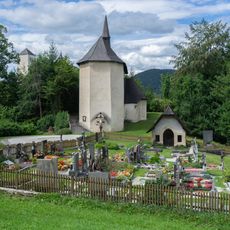
Pfarrkirche Kranichberg
3.7 km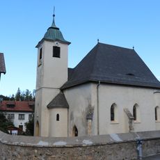
Saint Giles, Raach am Hochgebirge
2.4 km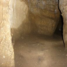
Mäanderhöhle
3 km
Kalvarienberg Kirchberg am Wechsel
3.6 km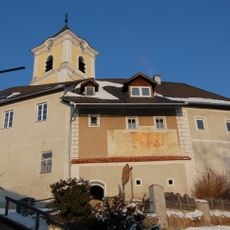
Pfarrhof Kirchberg am Wechsel
3.9 km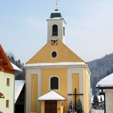
Pfarrkirche Trattenbach
4.4 km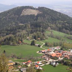
Raachberg
3.4 km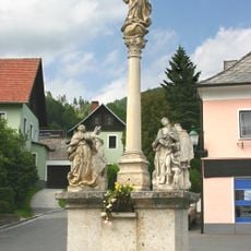
Mariensäule Kirchberg am Wechsel
3.8 km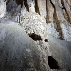
Hermannshöhle
3.1 km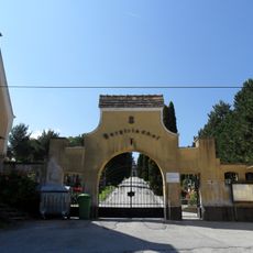
Bergfriedhof
5.4 km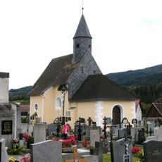
Friedhofskirche
3.2 km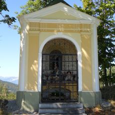
Wegkapelle
4.6 km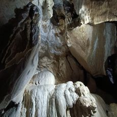
Hermannshöhlen Forschungs- und Erhaltungsverein
3 km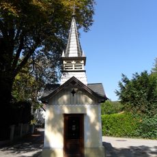
Liebfrauen-Kapelle
4.9 km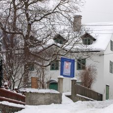
Wittgensteinmuseum Trattenbach
4.5 km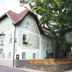
Gasthof/Hotel Zur 1000jährigen Linde (Haupthaus)
3.9 km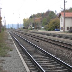
Südbahnstrecke Semmering-Bahn (Gloggnitz-Mürzzuschlag)
5.2 km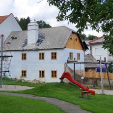
Wohnhaus
2.5 km
Kaiser-Franz-Josef-Jubiläums-Schule
4.2 km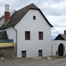
Ehem. Pfarrhof/Kindergarten
2.4 km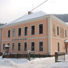
Wittgenstein-Volksschule
4.3 kmReviews
Visited this place? Tap the stars to rate it and share your experience / photos with the community! Try now! You can cancel it anytime.
Discover hidden gems everywhere you go!
From secret cafés to breathtaking viewpoints, skip the crowded tourist spots and find places that match your style. Our app makes it easy with voice search, smart filtering, route optimization, and insider tips from travelers worldwide. Download now for the complete mobile experience.

A unique approach to discovering new places❞
— Le Figaro
All the places worth exploring❞
— France Info
A tailor-made excursion in just a few clicks❞
— 20 Minutes