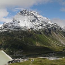
Hochmaderer, Mountain summit in Silvretta range, Vorarlberg, Austria
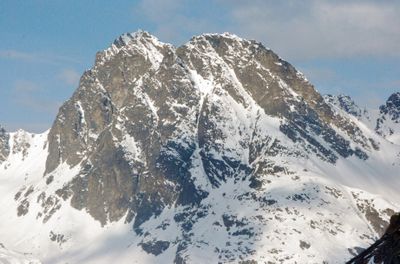
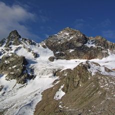
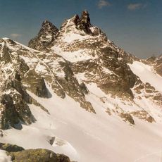
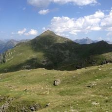
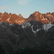
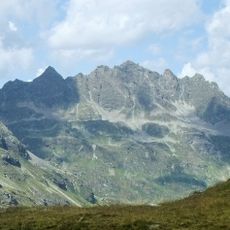
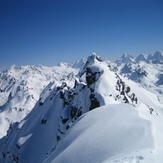
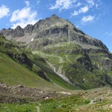
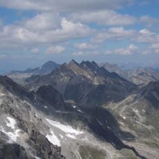
Hochmaderer is a mountain summit in the Silvretta range that rises to 2823 meters and features steep rock faces on its southern and eastern sides. These vertical rock walls drop sharply and create the peak's distinctive appearance from various viewpoints in the area.
The peak was documented early in the history of alpine mountaineering and became a key reference point for climbing expeditions in the region. Its role in local mountaineering has remained constant since systematic exploration of the area began.
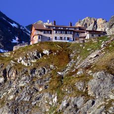
Local climbers use the Tubinger Hut as a gathering place to share experiences about climbing techniques and different approaches to reach the summit. The hut serves as an important meeting point for the alpine community in this region.
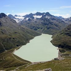
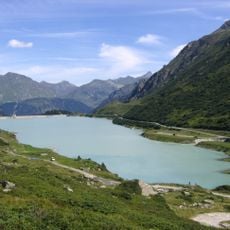
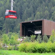
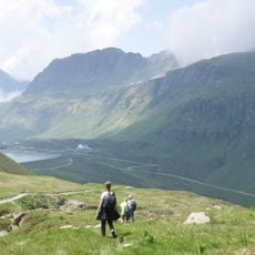
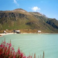
The ascent starts from Vermuntsee and follows a marked trail that requires technical climbing equipment and takes roughly three to four hours to complete. Visitors should know that mountaineering experience is necessary and the route demands solid preparation beforehand.
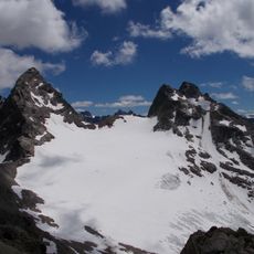
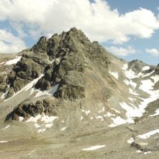
The Gantschettatali valley provides an alternative route to reach the Hochmadererjoch saddle at 2505 meters before making the final push to the summit. Climbers often choose this path when looking for a different perspective on the overall ascent.
The community of curious travelers
AroundUs brings together thousands of curated places, local tips, and hidden gems, enriched daily by 60,000 contributors worldwide.