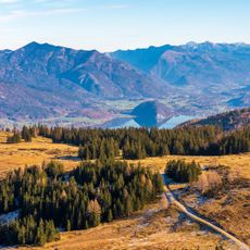
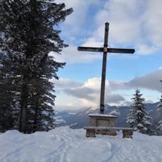
Gruberhorn, Monumental cross on Gruberhorn mountain in Salzburgerland, Austria
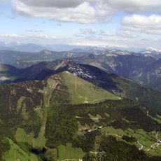
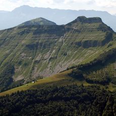
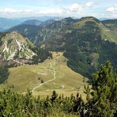
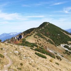
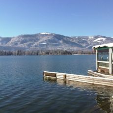
Gruberhorn is a 1,732-metre mountain in the Osterhorn Group of Salzburg, Austria, rising south of Hintersee as the middle summit of a three-peak chain between the Gennerhorn and the Regenspitz. Its north face drops in a steep grassy flank cut by gullies to the Gruberalm at 1,036 metres, and horizontal bands of limestone are visible below the summit. The peak itself is covered in mountain pine.
The Gruberhorn is a 1,732-metre summit in the Osterhorn Group, not a cross-raising site with a documented history. Its south and east ridges form part of a variant of the Arnoweg long-distance trail, which crosses the Hoher First and Dürlstein before reaching the peak. The normal ascent starts at the Genneralm (1,295 m), reached by a toll forest road from the end of the Lämmerbach valley.
The summit lies on the Arnoweg long-distance trail: its south and east ridges form part of a variant of this route, and stage 55 of the Arnoweg is documented for the area. The mountain's name comes from the Gruberalm below its northern face, and the steep grassy flank above that alp is crossed by gullies and ravines.
The hike to the summit starts from Hintersee and takes about 7 to 8 hours with an elevation gain of roughly 1,300 meters (4,265 feet). Spring and autumn are the best times to visit when weather in the mountains is more stable.
The Gruberhorn's east ridge, part of an Arnoweg variant, hides a steep step that looks hard but is surprisingly easy to climb. The summit itself is covered in mountain pines, and the approaches run through pine corridors rather than marked trails on the flanks.
The community of curious travelers
AroundUs brings together thousands of curated places, local tips, and hidden gems, enriched daily by 92,893 contributors worldwide.