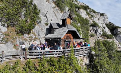
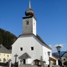
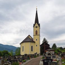
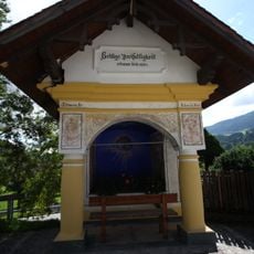
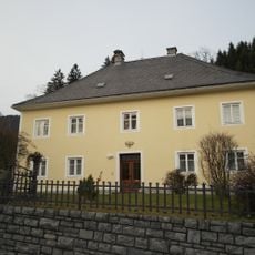
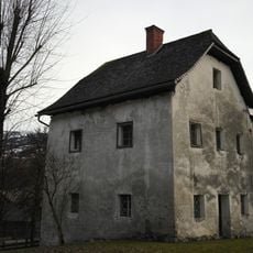
Friedenskircherl, Protected church building in Aich, Austria.
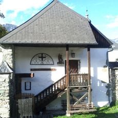
The Friedenskircherl is a protected church building located in the mountain landscape of Aich, featuring architectural characteristics typical of early 20th-century alpine structures. The building displays a simple construction style adapted to the demanding mountain environment.
The church was inaugurated on August 31, 1902, marking a period of expansion for religious infrastructure in Austrian mountain regions. This development coincided with increased settlement and growth in the higher alpine valleys during that era.
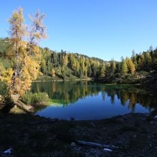
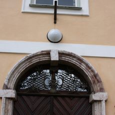
The name 'Friedenskircherl' reflects its role as a place of peace in the mountain landscape. Visitors can observe how the simple, functional design of the small chapel still mirrors the practical needs of those who lived in the high alpine region.
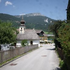
The church welcomes visitors through established mountain roads in the Pongau district and remains open for religious services. Due to its remote high-altitude location, visitors should prepare for variable weather conditions and challenging access during winter months.
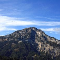
The church stands at approximately 1900 meters elevation, making it one of the highest religious structures in the Eastern Alps. This extreme location made it a notable gathering place for those traversing these high mountain passes.
The community of curious travelers
AroundUs brings together thousands of curated places, local tips, and hidden gems, enriched daily by 60,000 contributors worldwide.