Stoderzinken, Mountain summit in Styria, Austria
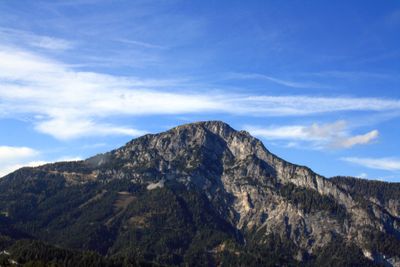
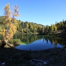
Stoderzinken is a mountain summit in the Austrian Alps that rises to 2,048 meters (6,719 feet) in Styria. The slopes feature alpine meadows and forest trails that lead visitors through different elevations and terrain types.
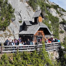
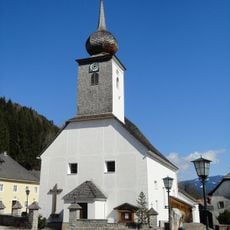
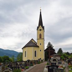
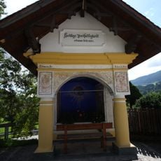
The Friedenskircherl chapel was built in 1902 on the summit by Emil Ritter von Horstig, marking a significant moment in the mountain's use by the local population. This construction demonstrates how people have been drawn to the peak for religious and spiritual purposes over time.
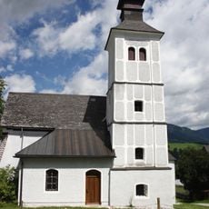
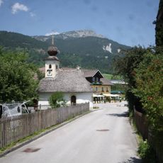
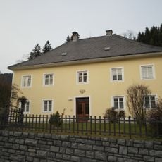
The mountain holds meaning for the local community as a place where hiking traditions remain central to how people spend their time in the region. The surrounding landscape reflects how residents maintain their connection to the Alps through outdoor practices that have shaped life here for generations.
The mountain is accessed via a toll road starting from the Stoder car park, with shuttle services available for those who prefer not to walk the entire route. Advance booking for the shuttle is recommended to ensure availability on your visit.
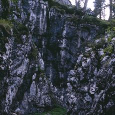
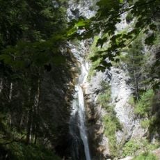
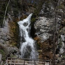
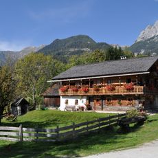
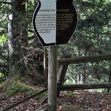
A circular hiking path connects multiple traditional mountain huts around the summit, creating a connected route that many visitors follow as they move through different parts of the area. This network reflects how the region has developed its mountain infrastructure to support visitors over many years.
The community of curious travelers
AroundUs brings together thousands of curated places, local tips, and hidden gems, enriched daily by 60,000 contributors worldwide.