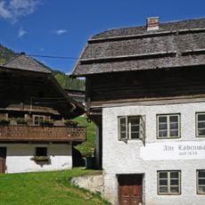
Notgasse Gröbming, Rock formation and petroglyph site in Gröbming, Austria.
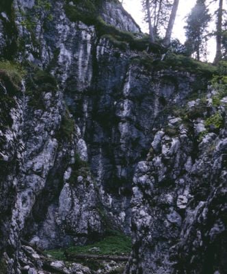
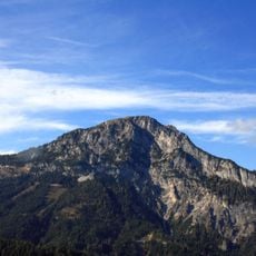
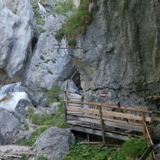
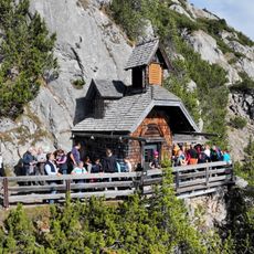
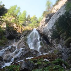
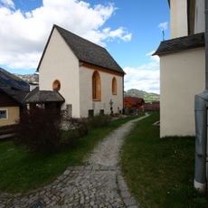
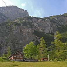
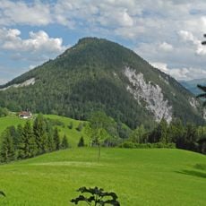
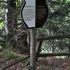
Notgasse is a dry gorge with walls rising up to 60 meters (200 feet), forming a natural pathway at the base of Stoderzinken mountain. The route passes through this rock formation displaying ancient carvings on the stone surfaces that record the presence of past inhabitants.
The oldest dated rock carving in Notgasse comes from 1643, though researchers believe some engravings may be up to 1200 years old. This span of time reveals how long people have regarded this location as significant.
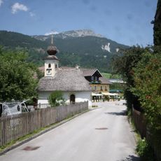
The passage served as a traditional route for alpine farmers, muleteers, and charcoal burners linking Gröbming to the eastern Dachstein plateau pastures. Local people relied on this path for generations to reach their mountain workplaces and grazing lands.
The hiking route is demanding and requires good footing on uneven stones and proper equipment for mountain conditions. Starting early in the day and being prepared for changeable alpine weather is advisable.
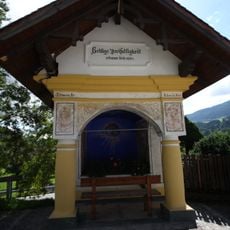
The name Notgasse comes from the Celtic word 'hnod', meaning sacred fire, pointing to the ancient spiritual importance of this rock formation. This Celtic heritage links the physical landscape today with the beliefs of the region's ancient inhabitants.
The community of curious travelers
AroundUs brings together thousands of curated places, local tips, and hidden gems, enriched daily by 60,000 contributors worldwide.