Gröbming, Administrative center in Styria, Austria.
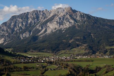
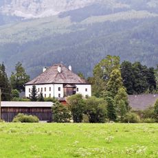
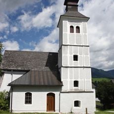
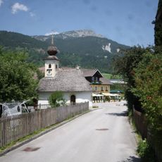
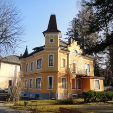
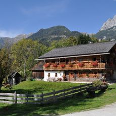
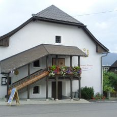
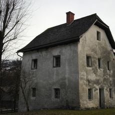
Gröbming is an administrative center in Styria located in a valley at approximately 776 meters elevation and serving several hundred inhabitants. The settlement features a Gothic church, municipal buildings, and various local facilities that shape daily life in the area.
Archaeological findings near Sölkpass show that Romans once settled and used the landscape in this area. Later, Slavs and Bavarians came to the region, shaping its cultural character over centuries.
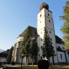
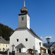
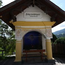
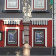
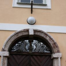
The Gothic church in the center displays a remarkable altar work from the 16th century that draws believers and visitors to this day. This religious artwork tells of the long connection between the place and the faith of its inhabitants.
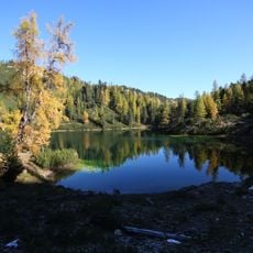
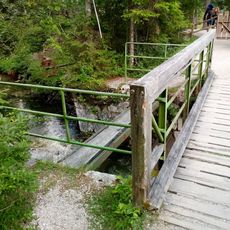
The place lies in a mountain and hiking area best visited from May through September when weather is stable. The streets are narrow, so patience while driving through is helpful, and visitors find parking at the edges of the center.
The municipal coat of arms from 1994 combines three symbols representing justice, agriculture, and religion, expressing the multifaceted role of the place. This combination reflects how closely different aspects of life are intertwined here.
The community of curious travelers
AroundUs brings together thousands of curated places, local tips, and hidden gems, enriched daily by 60,000 contributors worldwide.