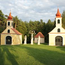
Kulm, Mountain summit in Styria, Austria
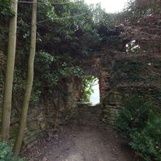
Kulm is a mountain summit rising within the Randgebirge range, positioned between Stubenberg and Puch bei Weiz in Styria. The terrain consists largely of forested slopes with scattered meadows and rocky outcrops visible throughout the landscape.
Settlement on the Kulm dates to the Copper Age, proven in 1977 by ceramic finds excavated by Diether Kramer of the Joanneum Graz. In the late Bronze Age (900–700 BC) the summit plateau was fortified with an earth rampart and terraces, with room for 300 inhabitants. A fibula from around 400 BC is among the earliest traces of Celts in Styria, and in the 1st century BC a Celtic oppidum with a shell wall and large gate stood on the summit.
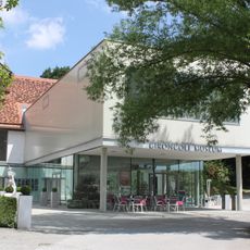
The open-air museum Kulm-Keltendorf, built after excavations begun in 1977 and moved downhill in 1999, reconstructs ten buildings of a Celtic settlement. Historian Titus Lantos directs the presentation of how the Celts lived and dwelt on the summit. The name Kulm, recorded as Chulm in 1396, may derive from Slavic *chlm or Latin culmen, referring to the mountain's conical shape.
The routes follow forest paths and dirt roads, which vary in difficulty depending on the chosen trail. Hiking is most enjoyable during warmer months when the paths are dry and well-maintained.
The border between the districts of Weiz and Hartberg-Fürstenfeld runs directly over the summit, so a visitor can stand in two districts at once. The Austrian army also uses the Kulm as one of six mobile radar sites in the Goldhaube system; during deployments the antenna area is fenced off but the summit stays reachable.
The community of curious travelers
AroundUs brings together thousands of curated places, local tips, and hidden gems, enriched daily by 94,534 contributors worldwide.