
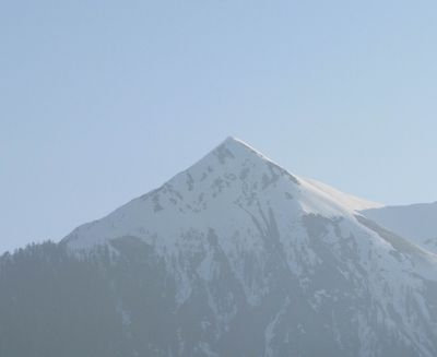
Lumkofel, mountain in the Gailtal Alps in Carinthia
Location: Lesachtal
Elevation above the sea: 2,287 m
GPS coordinates: 46.72221,12.84343
Latest update: March 13, 2025 15:19
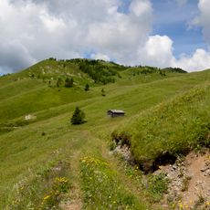
Mussen
6.2 km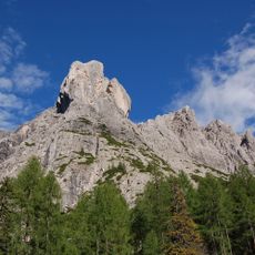
Laserzwand
6.5 km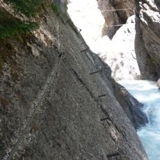
Klettersteig Pirknerklamm
7 km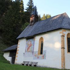
Kirche Sankt Radegund, Wiesen
5.6 km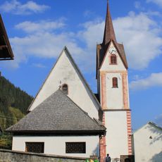
St. Nikolaus (Liesing)
3.9 km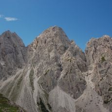
Gamswiesenspitze
6.5 km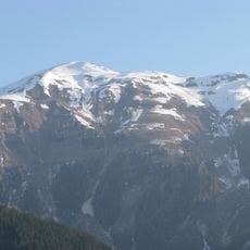
Riebenkofel
3.3 km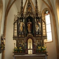
Kornat, Kath Pfarrkirche hl. Johannes der Täufer
5.2 km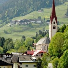
St. Lorenzen im Lesachtal, Kath. Pfarrkirche hl. Laurentius
5 km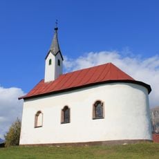
Kirche St. Anna, Obergail
4.7 km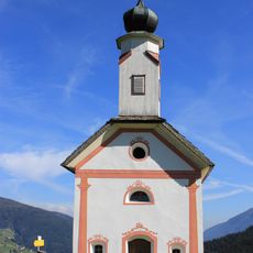
Kapelle hl. Dreifaltigkeit, Frohn
6.4 km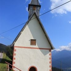
St. Josef
3.4 km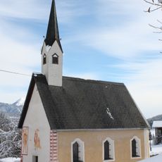
Antoniuskirche
5.6 km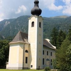
Wallfahrtskirche Maria Rosenkranzkönigin, Oberdrauburg
7.6 km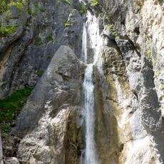
Frauenbach Wasserfall
6.9 km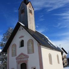
Wodmaier, Kath. Filialkirche hl. Chrysanth
6.3 km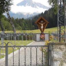
St. Lorenzen im Lesachtal, Heldenfriedhof
5.6 km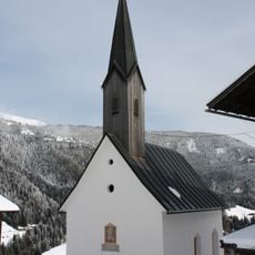
Niedergail, Kath. Filialkirche Maria Hilf
4.8 km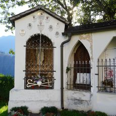
Friedhof
3.9 km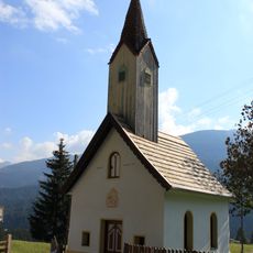
Kirche Hl. Dreifaltigkeit, Klebas
4 km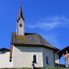
Xaveribergkapelle
6 km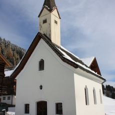
Mattling, Kath. Filialkirche hll. Ulrich und Blasius
4.3 km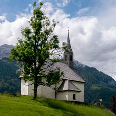
Filialkirche Ulrich und Martin, Lesachtal
6.5 km
Liesing, Wegkapelle 14 Nothelfer
3.9 km
Birnbaum, Kapelle zur unbefleckten Empfängnis
5.1 km
Kapelle hll. Silvester und Veit, Frohn
6.6 km
St. Lorenzen, Marienkapelle
5 km
Zollwachwohngebäude
5.4 kmReviews
Visited this place? Tap the stars to rate it and share your experience / photos with the community! Try now! You can cancel it anytime.
Discover hidden gems everywhere you go!
From secret cafés to breathtaking viewpoints, skip the crowded tourist spots and find places that match your style. Our app makes it easy with voice search, smart filtering, route optimization, and insider tips from travelers worldwide. Download now for the complete mobile experience.

A unique approach to discovering new places❞
— Le Figaro
All the places worth exploring❞
— France Info
A tailor-made excursion in just a few clicks❞
— 20 Minutes